Search Results
18 Results found

Atlas van Nederlandsch Oost-Indië
c.1897-1904
Indonesia
Very detailed atlas of the entire Dutch East Indies, over 16 map sheets, with a cover and overview map. Includes topographic maps, inset maps of cities and islands, and maps featuring land and sea routes, languages, geology, colonial territory etc.
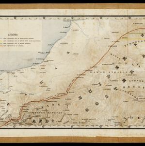
Kaart van een gedeelte van Borneo: met aanwijzing van de grens tusschen het Nederlandsch gebied en dat van het Britsche Protectoraat
1891
Indonesia, Malaysia, Myanmar
Map marking the border (in orange) agreed between British and Dutch territory on Borneo in 1891. Alternative borders are shown: according to the Dutch (blue), according to the British North Borneo Society (yellow) and proposed by the British (green).
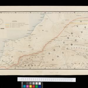
Kaart van een gedeelte van Borneo: met aanwijzing van de grens tusschen het Nederlandsch gebied en dat van het Britsche Protectoraat
1891
Indonesia, Malaysia
Map marking the border (in orange) agreed between British and Dutch territory on Borneo in 1891. Alternative borders are shown: according to the Dutch (blue), according to the British North Borneo Society (yellow) and proposed by the British (green).

Principal Dutch colonies in the Indian seas
1872
Brunei, Indonesia, Malaysia
Two maps of the Dutch East Indies, decorated with drawings of local people and animals. Dutch colonial territory and local sultanates and provinces are highlighted. The heights of Java’s mountains and settlements are displayed in an elevation view.

Algemeene Atlas van Nederlandsche Indie
c.1853-1862
Indonesia
Atlas featuring over 60 detailed maps of the Dutch East Indies: 24 maps cover Java; the remainder cover the rest of the Dutch East Indies. There are three index maps. (All the maps in this atlas are also presented separately on this platform.)

Borneo
1851
Malaysia, Southeast Asia, Philippines, East Timor, Vietnam, Brunei, Indonesia
Map of Borneo—with insets of Southeast Asia, Sarawak and Labuan—featuring temperature data, volcanoes, English colonial territory, products of Borneo, geology (rock types), bathymetry (sea depth) and elevations (side views of mountains with heights).

Borneo
1851
Malaysia, Southeast Asia, Philippines, East Timor, Vietnam, Indonesia, Brunei
Map of Borneo—with insets of Southeast Asia, Sarawak and Labuan—featuring temperature data, volcanoes, English colonial territory, products of Borneo, geology (rock types), bathymetry (sea depth) and elevations (side views of mountains with heights).
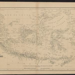
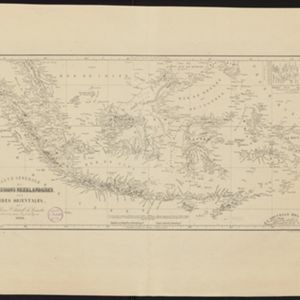
Carte générale des possessions néerlandaises aux Indes orientales
1846
Brunei, East Timor, Indonesia, Malaysia, Philippines, Singapore
Map of the Asian colonial possessions of the Netherlands (Dutch East Indies), with an inset of the heights of some of the region’s mountains. A note describes the average temperature, barometer reading and magnetic declination in Batavia at the time.
- [remove]Colonial Possessions18
- [remove]District/Administrative Border18
- Civic/Metropolitan Border5
- National Border2
- [remove]Longitude and Latitude18
- [remove]Scale18
- Contour Lines/Elevation17
- Written Note/Details13
- Compass Rose3

