Search Results
6 Results found

Algemeene kaart van Nederlandsch Oostindie
c.1839-1855
East Timor, Indonesia, Malaysia, Singapore
This map of the Dutch East Indies is spread over eight sheets, with a hand-drawn cover sheet showing the whole area. There are numerous inset maps of islands, bays, cities etc. Two of the inset maps have a replacement map pasted over them.

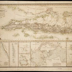
Karte von der Insel Sumatra
1837
Malaysia, Indonesia, Singapore
Based on surveys by Sir Stamford Raffles, this German map of Sumatra focuses on the navigation of coasts and straits, with bathymetry (sea depth), anchor points, shoals and reefs marked, including on inset maps of Singapore and the Bangka Strait.

Insulae Iavae Pars Occidentalis / Insulae Iavae Pars Orientalis
c.1720
Indonesia
A map of Java with mountains, jungles, animals and crops. Bathymetry (sea depth) is marked, including on an inset map of Batavia harbour. Illustrations include Batavia Castle, and a lion—representing Belgium—receiving tribute and enslaving locals.
- [remove]Jungle/Wooded Area6
- Mountain/Volcano6
- Wild Animals3
- Wetlands1
- [remove]Elevation6
- Illustration5
- Inset Map5
- Legend2
- Cartouche1
- Coat of Arms1
- [remove]Longitude and Latitude6
- [remove]Written Note/Details6
- Compass Rose5
- Scale4
- Contour Lines/Elevation3
- Rhumbline Network3


