Search

Search Results

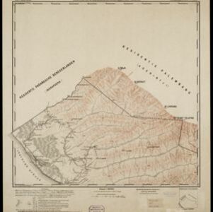
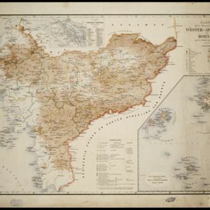
Kaart de residentie Wester-afdeeling van Borneo

event1898

location_onIndonesia

Topographical map of western Borneo, with inset maps of the islands off the west coast, and of the city of Pontianak including the docks and crops grown near the city (rice, coconut, mangosteen, sago, alang-alang, indigo plant, sugarcane, bamboo).

Kaart van de residentie Oostkust van Sumatra

event1896

location_onIndonesia

Detailed topographical map of the east coast of Sumatra, spread over 36 sheets. The area’s farms are listed and shown on the map within yellow borders, with types of crop grown. There is a detailed plan of Medan, and five inset maps of other towns.

Kaart van de Hoofdplaats Padang

event1896

location_onIndonesia

Map of the city of Padang, Sumatra, featuring roads, religious and military buildings, markets, warehouses and factories, and a railway station. Surrounding areas have villages and fields of rice, nutmeg, coconut, bamboo, alang-alang, sugarcane.

Sumatra: Residentie Benkoelen (Bengkoelen)

eventc.1894-1895

location_onIndonesia

Map of the residency of Benkoelen (Bengkulu, southwest coast of Sumatra), over 10 sheets, with an inset map of the city of Bengkoelen (Bengkulu). Types of crops—coconut, rice, alang-alang, nipah palm, coffee—are marked. Sheet number 8 is missing.

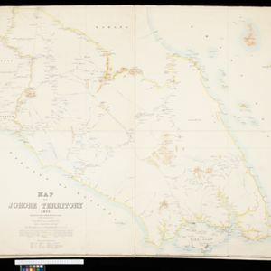
Map of Johore Territory 1893

event1893

location_onMalaysia, Singapore

Map of the Malay state of Johor, and Singapore. The route of a proposed railway north from Johor Bahru is shown. Apart from rivers and mountains, much of the terrain is blank, with labels such as ‘Unexplored Hill Country’ or ‘Dense Jungle and Swamp’.

Sumatra

event1889

location_onIndonesia

Map of the city of Padang on the west coast of Sumatra, with inset maps of the nearby islands, featuring residential, business, government and military areas. There are also agricultural areas with coconut, nutmeg, bamboo, nipa palm and sago palm.

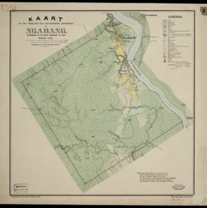
Kaart van den vierkanten paal gouvernements grondgebied te Ngabang

event1888

location_onIndonesia

Map of the town of Ngabang, on the Landak River, Borneo and the surrounding forest and mountains. Around the town are cemeteries, a well, a jail and a Chinese temple. Bamboo, coconut trees, fishing ponds and fields (including alang-alang) are marked.

Kaart van den vierkanten paal (I en II) gouvernements grondgebied te Sintang

event1888

location_onIndonesia

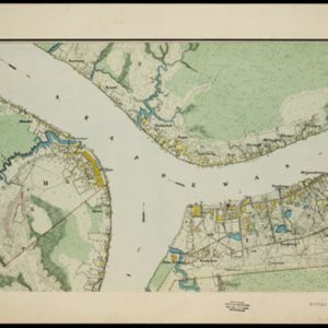
The Kapoewas (Kapuas) and Melawi rivers converge on this map of the town of Sintang, Borneo. The town lines the river banks, and is surrounded by fields, forest and marshland. Arrows on the rivers mark the direction of their flow.

Algemeene kaart van Nederlandsch Indië

event1879

location_onCambodia, Indonesia, Papua New Guinea, East Timor, Southeast Asia, Thailand, Malaysia, Philippines, Laos, Vietnam, Singapore, Brunei, Myanmar

A late 19th century map of the Dutch East Indies on four sheets, detailing maritime routes around the region. There are also inset maps showing railways, rivers, roads, and telegraph systems, as well as individual islands and cities.

Map of Prince of Wales' Island or Pulo Penang and province Wellesley

event1853

location_onMalaysia

Map of the Penang Strait, including written instructions on how to navigate the strait. On land, areas of cultivation are marked, with a table listing acreage used for each crop. A boundary with Siam based on an 1831 treaty is also shown.

close

  • Filter from 1853 to 1898

Current results range from 1853 to 1898