Search

Search Results

Kaart van het gebied bezet in Groot-Atjeh

event1891

location_onIndonesia

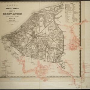
A map of Groot-Atjceh and the city of Kota Radja (modern Banda Aceh) at the northern tip of Sumatra, detailing routes (rivers, roads, railways), crops (rice, banana, sugarcane, betel, reed, alang-alang, bamboo) and land features (forests, wetlands).

Skeleton map of the Burma and Assam frontier

event1891

location_onMyanmar

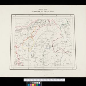
Map of Upper Burma showing the border with Assam (India) and China. The names of indigenous peoples are shown (‘Singphos’), along with the Irrawaddy River, railways and resources (‘Teak Forests’, mines (silver, copper, sulphur, rubies, coal, jade)).

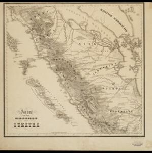
Kaart van het middengedeelte van Sumatra

event1890

location_onIndonesia

Details of each area’s resources are printed on this map of Sumatra: rattan, coffee, pepper, Chinese cinnamon, tobacco, resins, camphor, cotton, coal, gold, lumber, elephants, horses, as well as the locals’ ethnicity (Malays, Javanese, Acehnese).

Kaart van den Nederlandsch-Indischen Archipel

event1890

location_onIndonesia, East Timor, Brunei, Cambodia, Malaysia, Philippines, Singapore, Southeast Asia, Thailand, Vietnam

The seas of the Dutch East Indies are the focus of this map, with maritime routes, sea temperature, sea depth, currents and monsoons shown. There are graphs of population by ethnicity, agriculture and livestock, trade and shipping, and trade exports.

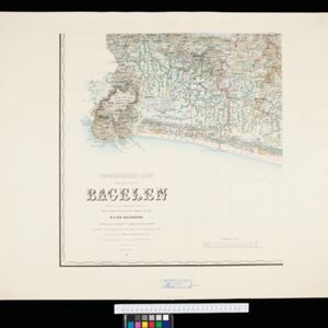
Topographische Kaart der residentie Bagelen

event1890

location_onIndonesia

The residency of Bagelen, Central Java, is shown divided into regencies and districts. Coffee, tea and cinnamon plantations, fields of rice, alang-alang and other crops, mountains, rivers, hot and mineral springs, settlements and routes are marked.

Rough Sketch of 200 miles of the western portion of British New Guinea, including rivers

event1890

location_onPapua New Guinea

Map of British New Guinea with notes on the terrain (‘Low country’), vegetation (‘Mangrove, Nipa and Fan Palms’), crops (‘Small plantations Sugar cane & Taro’), coastal features (‘Coral and Sand flats) and people (‘Friendly tribe’, ‘Dariamo Tribe’).

Sumatra

event1889

location_onIndonesia

Map of the city of Padang on the west coast of Sumatra, with inset maps of the nearby islands, featuring residential, business, government and military areas. There are also agricultural areas with coconut, nutmeg, bamboo, nipa palm and sago palm.

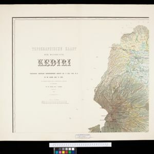
Topographische Kaart der residentie Kediri

event1889

location_onIndonesia

Four-sheet topographic map of the residency of Kediri (East Java), divided into regencies (pink borders) and districts (yellow borders). Mountains, forests, settlements, routes and crops—sugarcane, alang-alang, rice, coffee, sugar, nutmeg—are shown.

Topographische Kaart der residentie Krawang

event1889

location_onIndonesia

The residency of Krawang (Karawang), West Java, featuring plantations (coffee, coconut, cinnamon, nutmeg, sugar); crops (rice, alang-alang, bamboo); post offices, routes (road, postal, canals), administrative borders; mountains, rivers, forests.

Topographische Kaart der residentie Kedoe

event1889

location_onIndonesia

The residency of Kedoe (Kedu, Central Java), featuring crops (coffee, rice), routes (roads, bridal paths, paths), administrative borders (regencies, districts), mountains, forests and rivers. There is also an inset triangulation map.

Schetskaart der afdeeling Westkust van Atjeh

event1888

location_onIndonesia

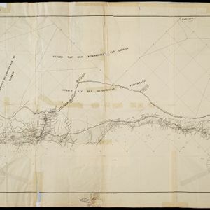
From a Dutch geographical society journal, this map of the west coast of Atjeh (Aceh), Sumatra, shows shoals, reefs, bathymetry (sea depth) and anchor points. On land, there are mountains (with heights), rivers, pepper plantations and rice fields.

Kaart van den vierkanten paal gouvernements grondgebied te Ngabang

event1888

location_onIndonesia

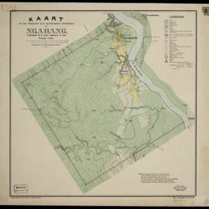
Map of the town of Ngabang, on the Landak River, Borneo and the surrounding forest and mountains. Around the town are cemeteries, a well, a jail and a Chinese temple. Bamboo, coconut trees, fishing ponds and fields (including alang-alang) are marked.

close