
Search Results
Filter
Map Attributes
Longitude and Latitude
Remove constraint Map Attributes: Longitude and Latitude
Insets
Cartouche
Remove constraint Insets: Cartouche
Detailed Location
Malacca
Remove constraint Detailed Location: Malacca
Sea Features
Shoal
Remove constraint Sea Features: Shoal
Collections
National Library Board Singapore
Remove constraint Collections: National Library Board Singapore
40 Results found


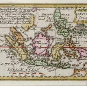


A map of the East-Indies and the adjacent countries: with the settlements, factories and territories, explaining what belongs to England, Spain, France, Holland, Denmark, Portugal &c.
1717
Brunei, Cambodia, East Timor, Indonesia, Laos, Malaysia, Myanmar, Philippines, Singapore, Southeast Asia, Thailand, Vietnam
- [remove]Malacca40
- Sumatra40
- Borneo38
- Java35
- Sulawesi34
- Celebes32
- Malay Peninsula30
- Siam27
- Pegu25
- Iava20
- Western New Guinea19
- Insulae Philippinae16
- more Detailed Location »
- [remove]Cartouche40
- Illustration29
- Inset Map8
- Coat of Arms7
- [remove]Longitude and Latitude40
- Compass Rose29
- Scale29
- Written Note/Details14
- Rhumbline Network10


