
Search Results
Filter
Map Attributes
Longitude and Latitude
Remove constraint Map Attributes: Longitude and Latitude
Insets
Cartouche
Remove constraint Insets: Cartouche
Detailed Location
Siam
Remove constraint Detailed Location: Siam
Detailed Location
Sumatra
Remove constraint Detailed Location: Sumatra
Sea Features
Shoal
Remove constraint Sea Features: Shoal
Political Regions
Regional Border
Remove constraint Political Regions: Regional Border
60 Results found

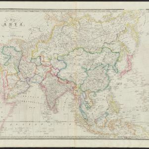


Charte von Asien: nach den bewährtesten astronomischen Beobachtungen, den neuesten Reisen, und den vorzüglichsten Charten, insonderheit aber der Geographie des Hrn I.C. Gatterers gemäss
1793
Brunei, Cambodia, East Timor, Indonesia, Laos, Malaysia, Myanmar, Papua New Guinea, Philippines, Singapore, Southeast Asia, Thailand, Vietnam
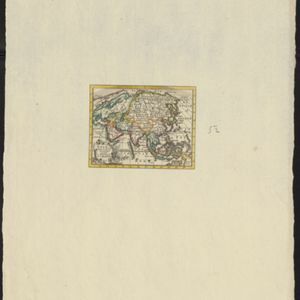


- Filter from 1607 to 1851
- [remove]Siam60
- [remove]Sumatra60
- Borneo57
- Malay Peninsula55
- Java54
- Sulawesi48
- Celebes45
- Pegu43
- Malacca37
- Western New Guinea37
- Iava31
- Maluku Islands24
- more Detailed Location »
- [remove]Cartouche60
- Illustration35
- Inset Map6
- Coat of Arms5
- [remove]Longitude and Latitude60
- Compass Rose42
- Scale35
- Written Note/Details12
- Rhumbline Network11
- Contour Lines/Elevation4


