Search

Search Results

Algemeene kaart van Nederlandsch Oostindie

eventc.1839-1855

location_onEast Timor, Indonesia, Malaysia, Singapore

Singapore harbours and roads with the adjacent channels

event1840

location_onSingapore

Algemeene Kaart van Nederlandsch Oostindie

event1842

location_onEast Timor, Indonesia, Malaysia, Singapore

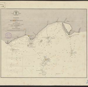
Reede van Bengkoelen

event1856

location_onIndonesia

Reede van Bengkoelen

event1856

location_onIndonesia

Western part of the Java Sea : from Lucipara I. to Sunda Strait and Batavia

event1866

location_onIndonesia

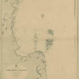
Gulf of Siam: Malay Peninsula - East Coast. Lakon Roads to Lem Tane

event1880

location_onThailand

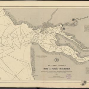
Westkust Borneo: Mond der Padang-Tikar rivier

event1884

location_onIndonesia

Westkust Borneo: Mond der Padang-Tikar rivier

event1884

location_onIndonesia

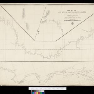
Map of the Fly River, British New Guinea, as traversed by Sir William MacGregor and party

event1890

location_onPapua New Guinea

Rough Sketch of 200 miles of the western portion of British New Guinea, including rivers

event1890

location_onPapua New Guinea

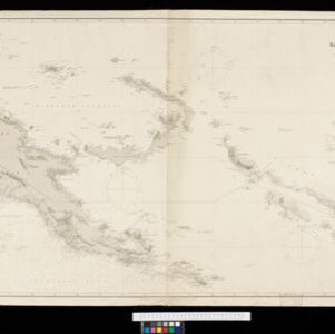
Kaiser Wilhelms Land, Bismarck Archipel und Salomon Inseln

event1891

location_onPapua New Guinea

close