
Search Results
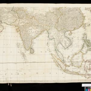

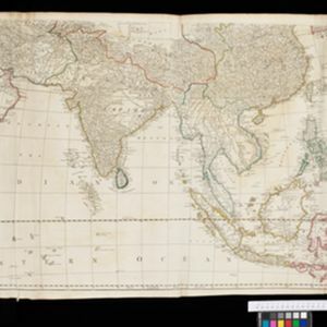

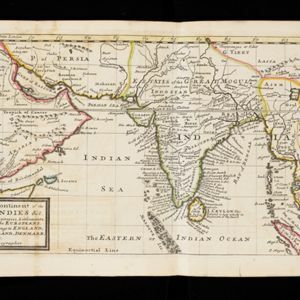

A map of the East-Indies and the adjacent countries: with the settlements, factories and territories, explaning what belongs to England, Spain, France, Holland, Denmark, Portugal &c.
c.1720
Brunei, Cambodia, East Timor, Indonesia, Laos, Malaysia, Myanmar, Philippines, Singapore, Southeast Asia, Thailand, Vietnam

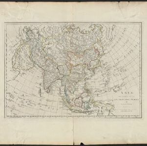
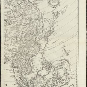
A map of the East-Indies and the adjacent countries: with the settlements, factories and territories, explaining what belongs to England, Spain, France, Holland, Denmark, Portugal &c.
1717
Brunei, Cambodia, East Timor, Indonesia, Laos, Malaysia, Myanmar, Philippines, Singapore, Southeast Asia, Thailand, Vietnam
- [remove]Mountain/Volcano106
- Jungle/Wooded Area21
- Wetlands12
- Mangrove5
- Wild Animals3
- [remove]Longitude and Latitude106
- Scale76
- Contour Lines/Elevation57
- Compass Rose36
- Written Note/Details27
- Rhumbline Network15


