Search

Search Results

Reduzirte Karte vom Sunda- oder Borneo-Meere

event1835

location_onMalaysia, Indonesia

Map of the River of Don-nai from Cape St. James to the city of Saigon

event1820

location_onVietnam

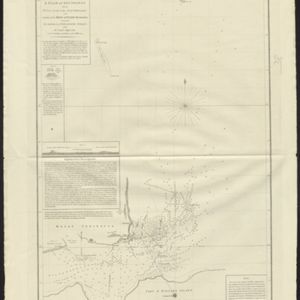
A plan of soundings from Pulo Aor to the Southward, and outside of the Reef off Point Romania towards the entrance of Sincapour Strait

event1818

location_onMalaysia, Indonesia, Singapore

A plan of soundings from Pulo Aor to the Southward, and outside of the Reef off Point Romania towards the entrance of Sincapour Strait

event1818

location_onMalaysia, Indonesia, Singapore

A map of Java: chiefly from surveys made during the British administration

event1817

location_onIndonesia

A map of Java: chiefly from surveys made during the British administration

event1817

location_onIndonesia

A new chart shewing the navigation through the Strait of Sunda to Batavia

event1815

location_onIndonesia

A new chart shewing the navigation through the Strait of Sunda to Batavia

event1815

location_onIndonesia

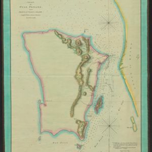
Chart of Pulo Penang: now Prince of Wales's Island

event1805

location_onMalaysia

Chart of Pulo Penang: now Prince of Wales's Island

event1805

location_onMalaysia

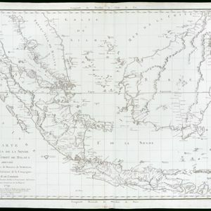
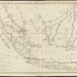
Carte des Isles de la Sonde et du Détroit de Malaca

event1791

location_onBrunei, Indonesia, Malaysia, Singapore

Carte des Isles de la Sonde et du Détroit de Malaca

event1791

location_onBrunei, Indonesia, Malaysia, Singapore

close