Search Results
Filter
Map Attributes
Longitude and Latitude
Remove constraint Map Attributes: Longitude and Latitude
Land Routes
Postal Route
Remove constraint Land Routes: Postal Route
Settlement Features
Temple
Remove constraint Settlement Features: Temple
Political Regions
District/Administrative Border
Remove constraint Political Regions: District/Administrative Border
Collections
Bodleian Libraries, University of Oxford
Remove constraint Collections: Bodleian Libraries, University of Oxford
4 Results found

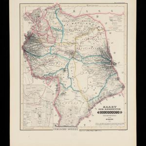
Kaart van de Oosterhelft der Residentie Samarang
1858
Indonesia
Map of the Dutch colonial administrative region (residency) of Samarang (Semarang, Java) with ruined temples, a sugar factory, tobacco warehouse and rice mill. (From ‘Algemeene Atlas van Nederlandsche Indie [General Atlas of the Dutch East Indies]’.)
- [remove]District/Administrative Border4
- Civic/Metropolitan Border1
- Contour Lines/Elevation4
- [remove]Longitude and Latitude4
- Scale4
- Written Note/Details1


