Search

Search Results

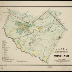
Kaart van den vierkanten paal gouvernements-grondgebied te Montrado

event1887

location_onIndonesia

A map of government land around the town of Montrado, Borneo, a gold mining centre in the 19th century, as shown by the number of gold mines (‘goudmijn’) marked. There are also crops—coconut, alang-alang, bamboo—and agricultural and fish ponds.

Kaart van het Zuidwestelijk gedeelte van het landschap Mampawah, residentie Wester-afdeeling van Borneo

event1887

location_onIndonesia

Map of the crops—coconut, alang-alang, rice, nipa palm, bamboo—grown along the Mempawah River (west coast of Borneo). There are also large areas of swampy forest, Malay mosques, shrines and graveyards, and Chinese villages, temples and graveyards.

Schets-Taalkaart van Sumatra

event1887

location_onIndonesia

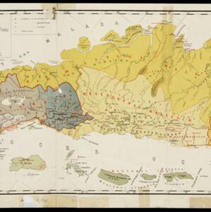
This map is colour-coded to show the different languages and dialects spoken in Sumatra in the late 19th century.

Kaart van Atjeh en Onderhoorigheden

event1886

location_onIndonesia

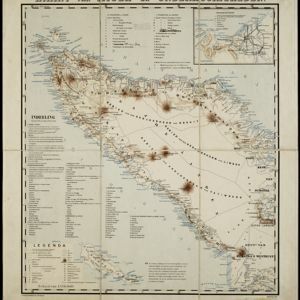
This map of the Atjeh and its surrounding area (modern province of Aceh, Indonesia) is divided into administrative areas. There is an inset map of the capital city Kota Radja (Banda Aceh), and mountains (with their height) and rivers are marked.

Kaart van een gedeelte van Nieuw-Guinea bevattende het Nederlandsche- en de aangrenzende deelen van het Britsche- en het Duitsche gebied

event1884

location_onIndonesia, Papua New Guinea

Map showing the results of an 1884 agreement between the Netherlands and Britain to exchange parts of their colonial territories in New Guinea: the red area was ceded by the Netherlands to Britain; green was ceded by Britain to the Netherlands.

Westkust Borneo: Mond der Padang-Tikar rivier

event1884

location_onIndonesia

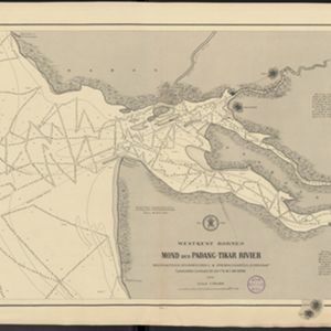
Navigation map of the mouth of the Padang Tikar River, on the west coast of Borneo, featuring bathymetric (water depth) routes. Obstructions are marked with letters: ‘m’ (mud), ‘z’ (sand). Trees, hills and fishermen’s houses are shown as landmarks.

Overzichtskaart en bladwijzer der afdeeling Banjoewangi

event1883

location_onIndonesia

This overview map of Banjoewangi (Banyuwangi Regency, East Java) features mountains, rivers and the Bali Strait. Distances between settlements are marked along the roads, and there is a small inset map of the city of Banjoewangi.

Topographische kaart van het eiland Billiton

event1882

location_onIndonesia

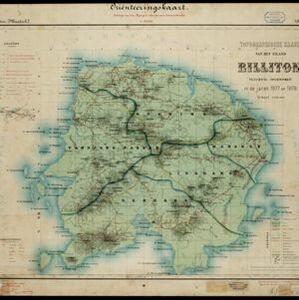
This map of Billiton (Belitung, Indonesia) features details of the island’s mining operations: blue borders divide the island into five mining districts, within which mines are represented by red crosses with an identifying number.

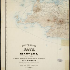
Etappe-kaart van Java en Madoera

event1878

location_onIndonesia

This detailed map of Java and Madura covers four sheets, showing natural features (mountains, lakes, rivers, bays), residential areas (cities, towns, villages) and routes (railways, roads, sea routes). An inset map shows telegraph lines and offices.

Schetskaart van het N.W. gedeelte der Residentie Sumatra's Oostkust

event1877

location_onIndonesia

Rivers and crops are the focus of this map of the northeast coast of Sumatra. Forests and wetlands are marked, as are alang-alang, coconut, pepper, nutmeg and tobacco. Roads are shown as suitable for infantry and light artillery, or for horse riding.

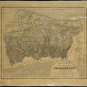
Kaart van de residentie Pekalongan

event1872

location_onIndonesia

Map of the residency of Pekalongan, Central Java, divided into two regencies (Pekalongan and Batang) and 12 districts. The southern half is dominated by mountains, with more towns in the northern half near the sea. Sugar factories are marked.

close

  • Filter from 1857 to 1899

Current results range from 1857 to 1899