Search

Search Results

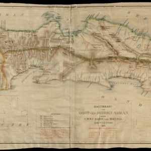
Schetskaart van West-Seran (Vulgo Ceram) / Schetskaart van Oost- en Midden Seran

event1896

location_onIndonesia

Map of the island of Seram in the Maluku Islands, originally produced as two separate maps. Red lines show lines of communication of local people (referred to as ‘Alfoer’), with their tribe’s name. Muslim, Christian and Alfoer settlements are marked.

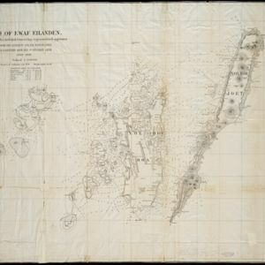
Keij of Ewaf eilanden

event1893

location_onIndonesia

Map of the Kai Islands, in the Banda Sea, designed for navigation: it features bathymetry (sea depth), reefs and shoals. Obstructions in the water are marked ‘kr’ (coral), ‘m’ (mud), ‘s’ (shells), ‘st’ (stones), and ‘z’ (sand).

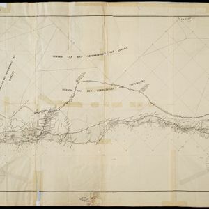
Schetskaart der afdeeling Westkust van Atjeh

event1888

location_onIndonesia

From a Dutch geographical society journal, this map of the west coast of Atjeh (Aceh), Sumatra, shows shoals, reefs, bathymetry (sea depth) and anchor points. On land, there are mountains (with heights), rivers, pepper plantations and rice fields.

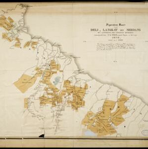
Figuratieve kaart van Deli, Langkat en Serdang met aanteekening der uitgegeven kontrakten

event1876

location_onIndonesia

Map of three regions on the northeast coast of Sumatra, with each region divided into parcels of land which are labelled with the name of a company. Presumably, these companies have been issued the contracts mentioned in the map’s title.

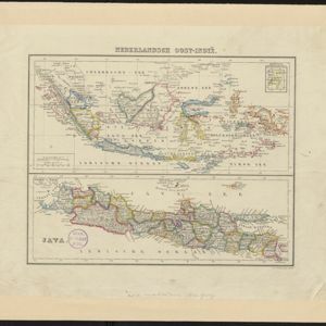
Nederlandsch Oost-Indië / Java

eventc.1850

location_onBrunei, East Timor, Indonesia, Malaysia, Philippines, Singapore, Thailand

Two maps of the Dutch East Indies: one of the whole region, and one of Java alone. Both are divided into administrative regions—e.g. Java is divided into regencies—with coloured borders.

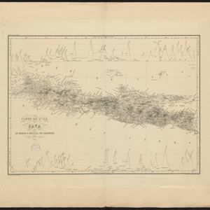
Carte de l'île de Java

event1847

location_onIndonesia

This map uses hachures—short lines/dashes that give a sense of the shape and steepness of terrain—to show Java’s mountains. There are also two side views (elevations) of the mountains showing the heights of various road routes across the island.

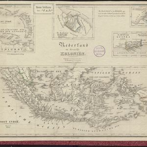
Nederland en deszelfs koloniën

event1844

location_onBrunei, East Timor, Indonesia, Malaysia, Singapore

Map of the East Indies, with the borders of Dutch colonial territory marked in brown. The Malay Peninsula (‘Malakka’) has green borders, indicating it is a British possession. Four inset maps show other Dutch territories outside Southeast Asia.

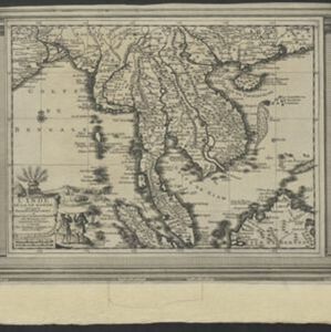
L'Inde de la Le Gange

event1713

location_onBrunei, Cambodia, Indonesia, Laos, Malaysia, Myanmar, Thailand, Vietnam

This map of mainland Southeast Asia features a label describing the local population of the mountains of Cochinchine (Vietnam) as ‘les Kemoi Sauvages [the Kemoi savages]’. The cartouche features a drawing of Asia with people, fields and palm trees.

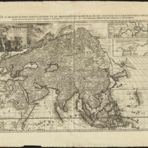
L'Asie, selon les nouvelles observations de Messrs. de l'Academie des Sciences

event1713

location_onBrunei, Cambodia, East Timor, Indonesia, Laos, Malaysia, Myanmar, Philippines, Singapore, Southeast Asia, Thailand, Vietnam

This early 18th century map of Asia features a drawing of a woman burning offerings on an altar, while two children carry cornucopias, and a camel looks on. The Roman god Mercury descends from the sky in the background wearing his winged helmet.

close

  • Filter from 1713 to 1896

Current results range from 1713 to 1896