Search

Search Results

Sumatra

event1889

location_onIndonesia

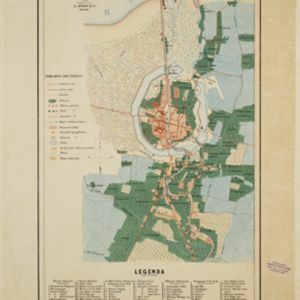
Map of the city of Padang on the west coast of Sumatra, with inset maps of the nearby islands, featuring residential, business, government and military areas. There are also agricultural areas with coconut, nutmeg, bamboo, nipa palm and sago palm.

Kaart van den vierkanten paal (I en II) gouvernements grondgebied te Sintang

event1888

location_onIndonesia

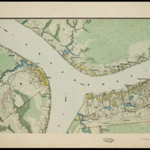
The Kapoewas (Kapuas) and Melawi rivers converge on this map of the town of Sintang, Borneo. The town lines the river banks, and is surrounded by fields, forest and marshland. Arrows on the rivers mark the direction of their flow.
Kaart van Atjeh en Onderhoorigheden

event1886

location_onIndonesia

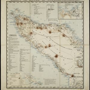
This map of the Atjeh and its surrounding area (modern province of Aceh, Indonesia) is divided into administrative areas. There is an inset map of the capital city Kota Radja (Banda Aceh), and mountains (with their height) and rivers are marked.

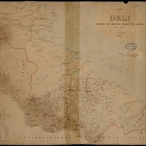
Kaart van Deli: Afdeeling der residentie Oostkusst van Sumatra

event1884

location_onIndonesia

Map of Deli on the east coast of Sumatra, dominated by the numerous rivers that flow from the mountains in the southwest to the Strait of Malacca. The railway lines around the city of Medan are shown in red, and flags indicate a military garrison.

Overzichtskaart van Groot-Atjeh

event1884

location_onIndonesia

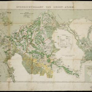
Map of Groot-Atjeh (Aceh, Sumatra) divided into administrative districts. Mountains, forests, villages, railways, roads and rivers are marked. There are inset maps of Poeloe Bras (Breueh Island), and showing distances between larger settlements.

Map of the Malay Peninsula

event1883

location_onMalaysia, Singapore

The Straits Settlements are in red, with the rest of the map marked with names of local peoples (‘Inhabited by the Johor Jakuns’) and resources (mines). Many areas are left blank or vague as unexplored or approximate. Inset map of Singapore city.

Plattegrond der stad Soerabaija

event1867

location_onIndonesia

A mid-19th century map of the city of Soerabaija (Surabaya, East Java, Indonesia) showing its recently built defences, including the ‘Citadel Prins Hendrik’ fort and a walled moat. Outside the city are villages, plantations and fields.

close