Search

Search Results

Kaart van den Nederlandsch-Indischen Archipel

event1890

location_onIndonesia, East Timor, Brunei, Cambodia, Malaysia, Philippines, Singapore, Southeast Asia, Thailand, Vietnam

The seas of the Dutch East Indies are the focus of this map, with maritime routes, sea temperature, sea depth, currents and monsoons shown. There are graphs of population by ethnicity, agriculture and livestock, trade and shipping, and trade exports.

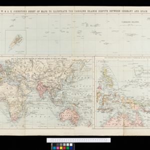
W. & A.K. Johnston's sheet of maps to illustrate the Caroline islands dispute between Germany and Spain

event1885

location_onSoutheast Asia, Papua New Guinea, Indonesia, Philippines, Malaysia, East Timor

Three maps of the Caroline Islands. One shows colonised areas in Southeast Asia: Dutch East Indies; British North Borneo, British New Guinea; German New Guinea; Philippines (Spain); Portuguese Timor. The route of the Challenger expedition is marked.

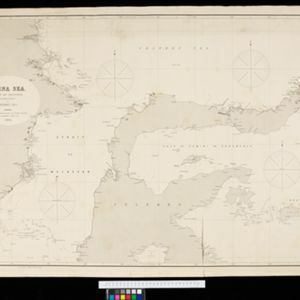
China Sea: Strait of Macassar to Celebes Sea

event1864

location_onIndonesia

Navigation map of the Celebes Sea, Makassar Strait and Java Sea, with bathymetry (sea depth), maritime routes, shoals and reefs, and landmark coastal mountains to aid navigation. On two sheets, which may not be from the same original map.

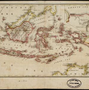
Nederlandsch Oost-Indië

event1840

location_onBrunei, East Timor, Indonesia, Malaysia, Papua New Guinea, Philippines, Singapore

The Dutch East Indies are bordered in red on this mid-19th century map. A maritime postal route from China to Europe, via Singapore and Penang, is shown. Another maritime route, from Batavia to Singapore, is also marked.

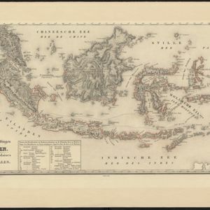
Kaart der Nederlandsche bezittingen in Oostindien = Possessions hollanaises aux Indes Orientales

event1840

location_onBrunei, East Timor, Indonesia, Malaysia, Singapore

Map of Dutch colonial territory in Southeast Asia, including the administrative areas of Java and Madura. Two maritime routes are marked from Batavia to the Maluku Islands: of the brig ‘Douga’ in 1825, and by Baron Godert van der Capellen in 1824.

close

  • Filter from 1840 to 1890

Current results range from 1840 to 1890