Search

Search Results

Kaart van den Nederlandsch-Indischen Archipel

event1890

location_onIndonesia, East Timor, Brunei, Cambodia, Malaysia, Philippines, Singapore, Southeast Asia, Thailand, Vietnam

The seas of the Dutch East Indies are the focus of this map, with maritime routes, sea temperature, sea depth, currents and monsoons shown. There are graphs of population by ethnicity, agriculture and livestock, trade and shipping, and trade exports.

Handelskaartje van den Nederlandsch Indischen archipel

event1883

location_onIndonesia, East Timor

This map is concerned with trade in the Dutch East Indies, highlighting useful resources such as maritime routes, railways, telegraph lines and offices, coast and harbour lights, offices of officials, areas that apply tolls and duties etc.

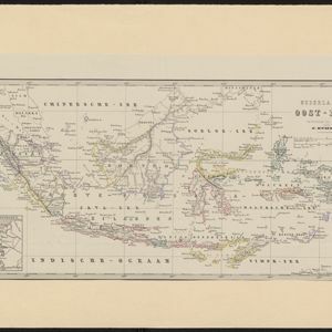
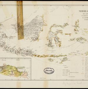
Nederlandsch Oost-Indie

event1867

location_onBrunei, East Timor, Indonesia, Malaysia, Philippines, Singapore, Thailand

Map of the Dutch East Indies, divided into administrative regions with coloured borders. There is an inset map of the important port city of Batavia (Jakarta) and its surroundings.

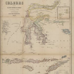
Het Eiland Celebes en de Kleine Soenda-Eilanden

event1862

location_onIndonesia, East Timor

A mid-19th century map of Celebes (Sulawesi) and the Lesser Sunda Islands, divided into colour-coded administrative districts.

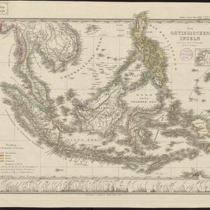
Die Ostindischen Inseln

event1846

location_onBrunei, Cambodia, East Timor, Indonesia, Laos, Malaysia, Myanmar, Philippines, Singapore, Southeast Asia, Thailand, Vietnam

Map of Southeast Asia highlighting the colonial possessions of the Netherlands (Dutch East Indies), Spain (Philippines), Britain (Straits Settlements, Burma, part of Borneo) and Portugal (East Timor). From the German atlas ‘Stielers Handatlas’.

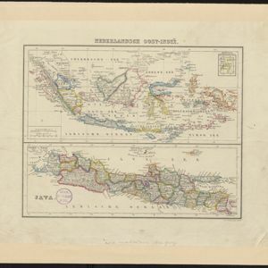
Nederlandsch Oost-Indië / Java

eventc.1850

location_onBrunei, East Timor, Indonesia, Malaysia, Philippines, Singapore, Thailand

Two maps of the Dutch East Indies: one of the whole region, and one of Java alone. Both are divided into administrative regions—e.g. Java is divided into regencies—with coloured borders.

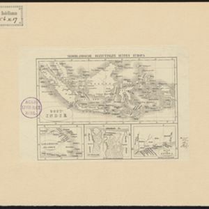
Nederlandsche bezittingen buiten Europa

eventc.1850

location_onBrunei, East Timor, Indonesia, Malaysia, Singapore

Map of the East Indies, showing Dutch colonial territory (Dutch East Indies) in the mid-19th century. Three inset maps show other Dutch territories outside Southeast Asia.

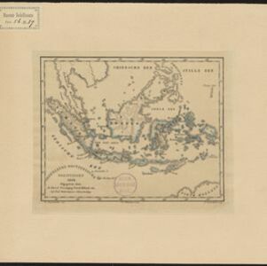
Nederlands Oostindische bezittingen, 1848

event1848

location_onBrunei, East Timor, Indonesia, Malaysia, Philippines, Singapore

Map of the Dutch East Indies, with blue borders showing the extent of Dutch colonial territory in 1848. It was published by the North Holland Regional Association of the Dutch Teachers' Association.

close

  • Filter from 1823 to 1890

Current results range from 1823 to 1890