
Search Results
Filter
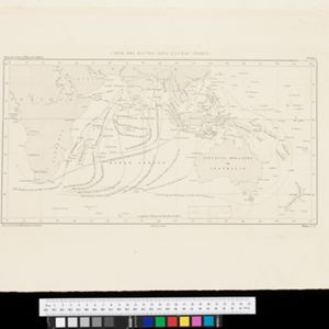
Map Attributes
Longitude and Latitude
Remove constraint Map Attributes: Longitude and Latitude
Detailed Location
Java
Remove constraint Detailed Location: Java
Detailed Location
South China Sea
Remove constraint Detailed Location: South China Sea
Detailed Location
Sulawesi
Remove constraint Detailed Location: Sulawesi
Simple Location
East Timor
Remove constraint Simple Location: East Timor
Sea Features
Shoal
Remove constraint Sea Features: Shoal
Sea Routes
Maritime Route
Remove constraint Sea Routes: Maritime Route
Political Regions
Regional Border
Remove constraint Political Regions: Regional Border
9 Results found


- Borneo9
- [remove]Java9
- Malay Peninsula9
- Maluku Islands9
- [remove]South China Sea9
- [remove]Sulawesi9
- Sumatra9
- Celebes7
- Western New Guinea7
- Siam6
- Indian Ocean5
- Java Sea4
- more Detailed Location »
- [remove]Regional Border9
- Colonial Possessions1
- National Border1
- [remove]Longitude and Latitude9
- Scale4
- Contour Lines/Elevation1
- Written Note/Details1


