Search Results
194 Results found

Kaart van Nederlandsch-Indie
1893
Brunei, Cambodia, Indonesia, Malaysia, Singapore, Thailand, Vietnam, East Timor, Philippines, Southeast Asia
Shipping routes are the focus of this map of the Dutch East Indies, indicated by red lines labelled with the name of the shipping company and the destinations. Parcel shipping routes are also shown. Inset maps feature railway lines too.
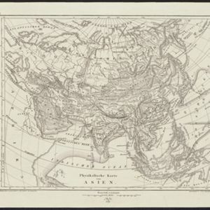
Physikalische Karte von Asien
1881
Brunei, Cambodia, East Timor, Indonesia, Laos, Malaysia, Myanmar, Philippines, Singapore, Southeast Asia, Thailand, Vietnam
Crops are marked on this map of Asia: Sumatra and Java have sugar, coffee, tea; the Lesser Sunda Islands and Maluku Islands have cinnamon, nutmeg and clove; mainland Southeast Asia has sugar and cotton. Arrows on the sea indicate currents.
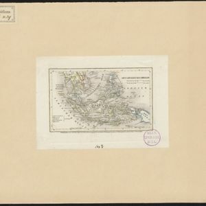
Ostindische Inseln
c.1870
Brunei, Cambodia, East Timor, Indonesia, Laos, Malaysia, Myanmar, Philippines, Singapore, Southeast Asia, Thailand, Vietnam
On this map of Southeast Asia, borders are outlined and cities underlined in different colours to show the colonial territories of the European powers. On Borneo, the names of indigenous peoples are listed (‘Dayak’s, Papua’s, Bugi’s’).
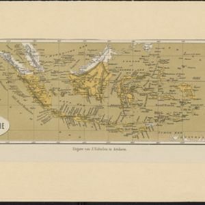
Oost-Indie
c.1867
Brunei, Cambodia, East Timor, Indonesia, Laos, Malaysia, Myanmar, Philippines, Singapore, Southeast Asia, Thailand, Vietnam
Map of the East Indies in the mid-19th century, with Dutch colonial territory (Dutch East Indies) coloured in brown. Dutch administrative regions—such as residencies (‘residentie’) and governorates (‘gouvernement’)—are labelled.
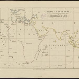
Zee- en landkaart waarop de dagelijksche vorderingen eener zeereis van Nederland naar N.O. Indië door een deskundig passagier naauwkeurig aangeteekend
c.1860
Brunei, Cambodia, East Timor, Indonesia, Laos, Malaysia, Myanmar, Philippines, Singapore, Southeast Asia, Thailand, Vietnam
Map of the Eastern Hemisphere featuring a maritime route from the Netherlands to the port of Batavia (Jakarta) in the East Indies, with each day’s progress marked. Other routes around the region and back to Europe via the Suez Canal are also shown.
- Brunei194
- Cambodia194
- Indonesia194
- [remove]Malaysia194
- Philippines194
- Singapore194
- [remove]Southeast Asia194
- Thailand194
- Vietnam194
- Laos190
- Myanmar190
- East Timor186
- more Simple Location »
- Borneo194
- [remove]Malay Peninsula194
- Sumatra194
- Java186
- Sulawesi180
- Celebes150
- Western New Guinea145
- Maluku Islands129
- Siam108
- Sunda Islands87
- Pegu84
- Malacca83
- more Detailed Location »
- [remove]Longitude and Latitude194
- Scale107
- Compass Rose66
- Contour Lines/Elevation37
- Written Note/Details24
- Rhumbline Network7

