Search

Search Results

Kaart van Nederlandsch-Indie

event1893

location_onBrunei, Cambodia, Indonesia, Malaysia, Singapore, Thailand, Vietnam, East Timor, Philippines, Southeast Asia

Shipping routes are the focus of this map of the Dutch East Indies, indicated by red lines labelled with the name of the shipping company and the destinations. Parcel shipping routes are also shown. Inset maps feature railway lines too.

Stanford's Library Map of Asia

event1891

location_onBrunei, Cambodia, East Timor, Indonesia, Laos, Malaysia, Myanmar, Philippines, Singapore, Southeast Asia, Thailand, Vietnam

Southeast Asia is on sheet four of this map. British colonial territory—British Burma, the Straits Settlements, Sarawak, British North Borneo—is highlighted in red, with the Dutch East Indies, Spanish Philippines and Portuguese East Timor also shown.

Kaart van den Indischen-Archipel, Aanwijzende de standplaatsen der Europeesche ambtenaren bij het Binnenlansch Bestuur

event1891

location_onIndonesia

This map of the Dutch East Indies uses colour to demarcate government administrative areas (residencies or provinces), with red dots/flags indicating the locations of various levels of government officials. With inset maps of west Sumatra and Java.

Kaart van de Karo landen (Oost Sumatra)

event1891

location_onIndonesia

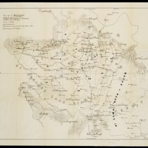
A map recording five Dutch expeditions through the Karo Lands of northern Sumatra. The mountainous terrain is represented by contour lines, with peaks’ heights marked. The names of groups of the indigenous Karo people are shown in large letters.

Kaart van het gebied bezet in Groot-Atjeh

event1891

location_onIndonesia

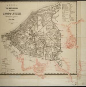
A map of Groot-Atjceh and the city of Kota Radja (modern Banda Aceh) at the northern tip of Sumatra, detailing routes (rivers, roads, railways), crops (rice, banana, sugarcane, betel, reed, alang-alang, bamboo) and land features (forests, wetlands).

Schetskaart van een gedeelte van Midden Sumatra

event1891

location_onIndonesia

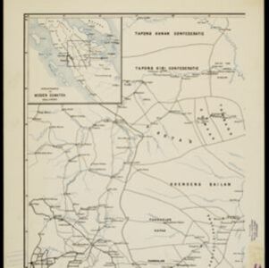
A map of central Sumatra spread over four sheets, divided into administrative districts, and with roads, railways and settlements marked. An inset map acts as a locator map, showing the main map’s location within Sumatra.

Kaart van het middengedeelte van Sumatra

event1890

location_onIndonesia

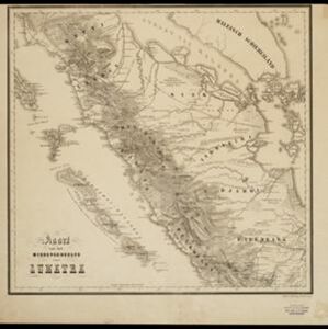
Details of each area’s resources are printed on this map of Sumatra: rattan, coffee, pepper, Chinese cinnamon, tobacco, resins, camphor, cotton, coal, gold, lumber, elephants, horses, as well as the locals’ ethnicity (Malays, Javanese, Acehnese).

Kaart van den Nederlandsch-Indischen Archipel

event1890

location_onIndonesia, East Timor, Brunei, Cambodia, Malaysia, Philippines, Singapore, Southeast Asia, Thailand, Vietnam

The seas of the Dutch East Indies are the focus of this map, with maritime routes, sea temperature, sea depth, currents and monsoons shown. There are graphs of population by ethnicity, agriculture and livestock, trade and shipping, and trade exports.

Sumatra, Bangka, Blitoeng en de Riouw-archipel

event1890

location_onIndonesia

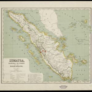
This map of Sumatra is divided into administrative areas called ‘residencies’, which include the surrounding islands such as the Riau Archipelago and islands in the South China Sea.

Kaart der Bataklanden en van het eiland Nijas

event1890

location_onIndonesia

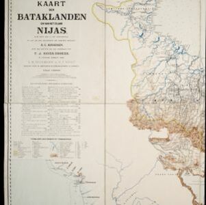
A large-scale map of northern Sumatra, spread over 16 sheets, and divided into administrative regions. The island of Nijas (Nias) is marked with the locations of local tribes, and there is a list of other maps referenced in producing the map.

Asia

eventc.1890

location_onBrunei, Cambodia, East Timor, Indonesia, Laos, Malaysia, Myanmar, Philippines, Singapore, Southeast Asia, Thailand, Vietnam

This map of Asia is from ‘Stieler’s Schul-Atlas’, a version of ‘Stielers Handatlas’ that was used widely in German schools in the 19th century.

Kaart der Bataklanden en van het eiland Nijas

event1890

location_onIndonesia

A large-scale map of northern Sumatra, spread over 16 sheets, and divided into administrative regions. The island of Nijas (Nias) is marked with the locations of local tribes, and there is a list of other maps referenced in producing the map.

close