Search

Search Results

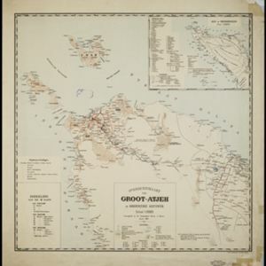
Overzichtskaart van Groot-Atjeh en aangrenzende kuststaten

event1898

location_onIndonesia

Map of Groot-Atjeh (Aceh, Sumatra), focusing on the area around the capital Kota Radja (Banda Aceh) and along the coasts. There is a list of telephone connections in the area, and an inset map of the region divided into administrative districts.

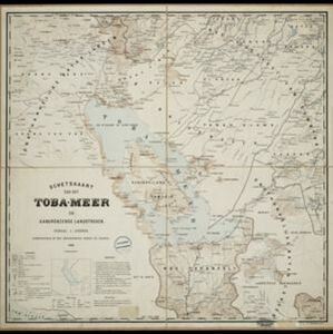
Schetskaart van het Toba-meer en aangrenzende landstreken

event1898

location_onIndonesia

Map of Lake Toba and the surrounding area in northern Sumatra, featuring mountains, forests, types of terrain (undergrowth, field, grass), rivers, roads and settlements. There is an inset map that shows the other maps referenced in producing the map.

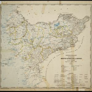
Residentie Wester-afdeeling van Borneo

event1897

location_onIndonesia

A series of maps of rivers and paths in western Borneo, featuring mountains with their heights, jungles, wetlands and crops (coconut, bamboo, alang-alang, nipa palm). Only four sheets are available.

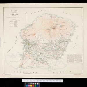
Kaart van het eiland Lombok

event1897

location_onIndonesia

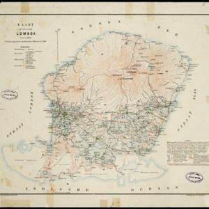
Topographic map of the island of Lombok in the Lesser Sunda Islands, with terrain shown by contour lines. Administrative districts, villages, routes, forests and crops (rice, coconut, coffee, banana, alang-alang, bamboo, Javanese pine) are marked.

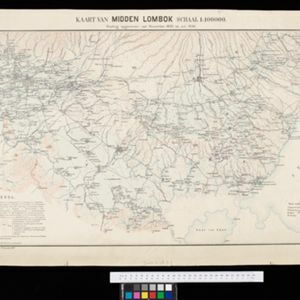
Kaart van midden Lombok

event1897

location_onIndonesia

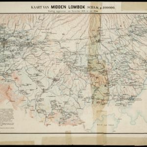
Map of southern Lombok in the Lesser Sunda Islands, including the capital city Mataram, other settlements, routes and crops/plantations—rice, coconut, tea, coffee, banana, alang-alang, bamboo, arenga palm—with more mountainous regions to the north.

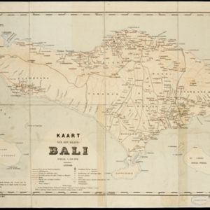
Kaart van het Eiland Bali

event1897

location_onIndonesia

Bali under Dutch colonial rule is shown here divided into eight regencies (administrative divisions). Contour lines indicate elevation, with the heights of some mountains noted. Shoals, reefs and sandbanks are marked around the coast.

Atlas van Nederlandsch Oost-Indië

eventc.1897-1904

location_onIndonesia

Very detailed atlas of the entire Dutch East Indies, over 16 map sheets, with a cover and overview map. Includes topographic maps, inset maps of cities and islands, and maps featuring land and sea routes, languages, geology, colonial territory etc.

Kaart van het eiland Lombok

event1897

location_onIndonesia

A map of the island of Lombok divided into administrative districts. Rivers, roads and paths, forests and mountains, anchor points, and crops—rice, coconut, coffee, banana, alang-alang, bamboo, casuarina (Javanese pine)—are marked.
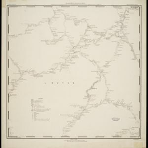
Kaart van Midden Lombok

event1897

location_onIndonesia

Map of southern Lombok in the Lesser Sunda Islands, including the capital city Mataram, other settlements, routes and crops/plantations—rice, coconut, tea, coffee, banana, alang-alang, bamboo, arenga palm—with more mountainous regions to the north.

Overzichtskaart der residentie Wester-afdeeling van Borneo

event1896

location_onIndonesia

Map of western Borneo, divided into administrative districts. Mountains and larger settlements are marked with their height. A flag indicates a military garrison. A list of the districts notes their type of local ruler (Sultan, Prince etc.).
Kaart van de residentie Oostkust van Sumatra

event1896

location_onIndonesia

Detailed topographical map of the east coast of Sumatra, spread over 36 sheets. The area’s farms are listed and shown on the map within yellow borders, with types of crop grown. There is a detailed plan of Medan, and five inset maps of other towns.

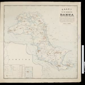
Kaart van de residentie Banka

event1896

location_onIndonesia

Map of Banka (Bangka) Island, east of Sumatra, divided into administrative districts. Rocks, shoals, buoys and anchor points are marked around the coast, with mountains, wetlands, roads and settlements on land. Inset map of Pulau Liat (Liat Island).
close