Search

Search Results

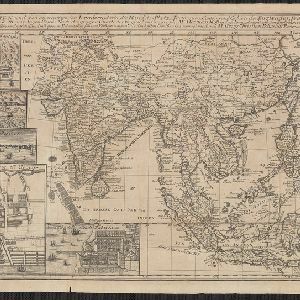
A map of the East-Indies and the adjacent countries: with the settlements, factories and territories, explaning what belongs to England, Spain, France, Holland, Denmark, Portugal &c.

event1720

location_onBrunei, Cambodia, East Timor, Indonesia, Laos, Malaysia, Myanmar, Philippines, Vietnam, Thailand, Southeast Asia, Singapore

Charte von Ost-Indien und den angroentzenden Laendern

event1737

location_onBrunei, Cambodia, East Timor, Indonesia, Laos, Malaysia, Myanmar, Philippines, Singapore, Southeast Asia, Thailand, Vietnam

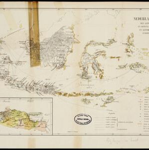
Algemeene kaart van Nederlandsch Oostindie

eventc.1839-1855

location_onEast Timor, Indonesia, Malaysia, Singapore

Algemeene Kaart van Nederlandsch Oostindie

event1842

location_onEast Timor, Indonesia, Malaysia, Singapore

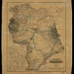
Kaart der residentie Soerakarta

event1859

location_onIndonesia

Handelskaartje van den Nederlandsch Indischen archipel

event1883

location_onIndonesia, East Timor

Map of the Malay Peninsula

event1883

location_onMalaysia, Singapore

Map of the Malay Peninsula

event1883

location_onMalaysia, Singapore

Sumatra

event1889

location_onIndonesia

Java

event1890

location_onIndonesia

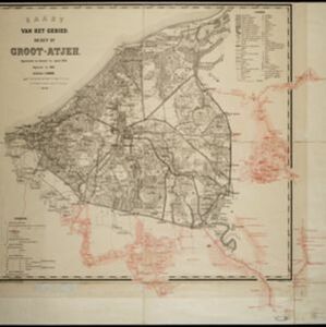
Kaart van het gebied bezet in Groot-Atjeh

event1891

location_onIndonesia

City of Mandalay and environs

event1894

location_onMyanmar

close