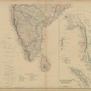
Das Kaiserthum Birma nebst Assam
1825
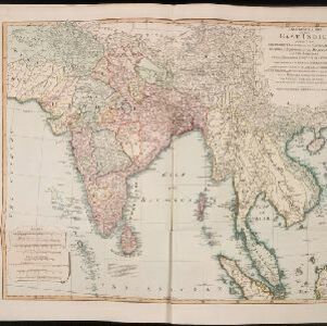
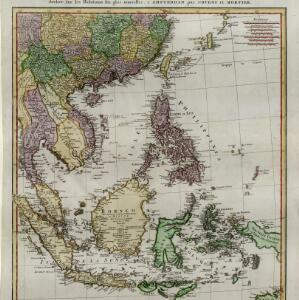
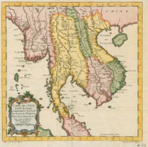
Myanmar, Malaysia, Thailand
Map of the Birman Empire and Assam (modern Myanmar) with detailed text describing the region’s geography, culture, population, religion, government and history. There is an inset map highlighting Burmese islands off the coast of the Malay Peninsula.