The coast of India and China from the point and river of Camboja to Canton: comprehending the coasts of Tsiompa and Cochinchina, with the coast of Tonkin and the coast of Koan-Ton, with the isle of Hai-nan
event1794
location_onCambodia, Vietnam
Plan of Pulo Condor
event1794
location_onVietnam
A new chart of the straits of Sunda: From the manuscript of the Dutch East India Company
event1794
location_onIndonesia
De reede en stadt Batavia, is geleegen aan de noord kust van 't eyland Groot Iava inde Oost Indische Zee
event1728
location_onIndonesia
De Straat Sunda in de Oost-Indische Zee tussen de eylanden Sumatra en Iava
event1728
location_onIndonesia
[Portolan chart of the South China Sea]
event1701
location_onBrunei, Cambodia, Indonesia, Laos, Malaysia, Philippines, Thailand, Vietnam
[Portolan chart of the Java Sea]
event1701
location_onMalaysia, Indonesia
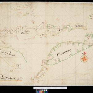
[Dutch portolan chart of the eastern Dutch East Indies]
event1700
location_onIndonesia, East Timor
[Dutch portolan chart of the Lesser Sunda Islands]