Search

Search Results

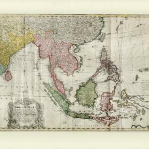
Carte des Indes Orientales

event1748

location_onBrunei, Cambodia, East Timor, Indonesia, Laos, Malaysia, Myanmar, Philippines, Singapore, Southeast Asia, Thailand, Vietnam

This mid-18th century map features a label noting that the Byayos people inhabited the mountains of central Borneo. Another note at the northeast tip of Borneo states that the location and number of islands in the area is uncertain.

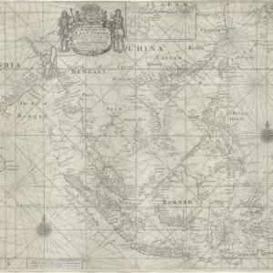
A chart of the eastermost part of the East Indies and China, from Cape Comarine to Iapan, with all the adjacent islands

event1711

location_onBrunei, Cambodia, East Timor, Indonesia, Laos, Malaysia, Myanmar, Philippines, Singapore, Southeast Asia, Thailand, Vietnam

An early 18th century navigation map, with a rhumbline network and a scale in English, French, Spanish and Dutch measurements. The cartouche includes a drawing of Asian people as primitive natives, as they were often seen in the West at the time.

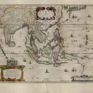
India quae Orientalis dicitur, et insvlae adiacentes

eventc.1645-1658

location_onBrunei, Cambodia, East Timor, Indonesia, Laos, Malaysia, Myanmar, Philippines, Singapore, Southeast Asia, Thailand, Vietnam

German text on the reverse of this map describes the populations, crops, trade etc. of Sumatra, Borneo, Philippines, and Banda Islands. There are drawings of sailing ships, and the map is dedicated to the Dutch merchant Christophoro Thisio.

close

  • Filter from 1645 to 1748

Current results range from 1645 to 1748