Search

Search Results

A New Chart of the Eastern Straits, or the Straits to the East of Java, with a part of the Banda Sea

event1798

location_onEast Timor, Indonesia

A late 18th century maritime navigation map of the straits east of Java, with drawings of the elevations of the straits. The map is also marked with routes of explorers, including the return of Captain Cook’s HMS Endeavour from Australia in 1770.

Plan of the road and city of Batavia on the north coast of Java Island

event1790

location_onIndonesia

Map of the Batavia (Jakarta) Bay roadstead, a body of water sheltered from tides/currents, for ships to anchor. The web of lines is a rhumbline network, the numbers indicate sea depth (bathymetry), and there are written notes, all to aid navigation.

Deese wassende pas-kaart van Oost-Indien, is nu te bekoomen voor die deselve begeeren

eventc.1728-1738

location_onBrunei, Cambodia, East Timor, Indonesia, Laos, Malaysia, Myanmar, Papua New Guinea, Philippines, Singapore, Southeast Asia, Thailand, Vietnam

Map of the Indian Ocean dominated by a rhumbline network—a web of interconnected lines used to help plot routes—with a compass rose at the centre. At the top there are (incomplete) drawings of people with text in Dutch, French, English and Spanish.

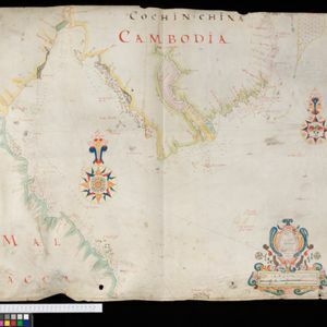
[Portolan chart of the Gulf of Siam]

event1697

location_onThailand, Vietnam, Malaysia, Cambodia

A brightly-coloured hand-drawn map of the Gulf of Siam, made for a ship’s captain. The elaborate compass roses are the centre of a rhumbline network, a web of lines to aid navigation. Bathymetry (sea depth), islands, shoals and reefs are also marked.

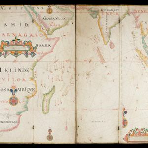
[Chart of the Indian Ocean]

event1684

location_onCambodia, Indonesia, Malaysia, Myanmar, Thailand

Colourful hand-drawn portolan (nautical) navigation chart, featuring a rhumbline network (the web of interconnected lines), islands, shoals and reefs. With an elaborately decorated cartouche, scale and compass roses. Vellum on folding wood boards.

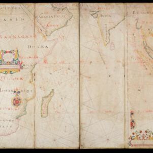
[Chart of the Indian Ocean]

event1682

location_onCambodia, Indonesia, Malaysia, Myanmar, Singapore, Thailand

Colourful hand-drawn portolan (nautical) navigation chart, featuring a rhumbline network (the web of interconnected lines), islands, shoals and reefs. With elaborately decorated scales and compass roses. Mounted on folding wood boards.

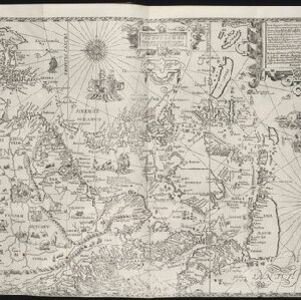
Exacta & accurata delineatio cum orarum maritimarum tum etiam locorum terrestrium quae in regionibus China, Cauchinchina, Camboia sive Champa, Syao, Malacca, Aracan & Pegu

event1598

location_onBrunei, Cambodia, East Timor, Indonesia, Laos, Malaysia, Myanmar, Philippines, Singapore, Southeast Asia, Thailand, Vietnam

Unusually, north is located to the left of this map of East Asia, rather than the top. The text notes that shallows and reefs are marked, and that the map is based on the explorations of Portuguese ships. Illustrations include sea monsters and ships.

close