A new chart shewing the navigation through the Strait of Sunda to Batavia event1815 location_onIndonesia
A new chart shewing the navigation through the Strait of Sunda to Batavia event1815 location_onIndonesia
Carte du Détroit de la Sonde, depuis la pointe de Winerou jusques à l'Isle du Nord eventc.1790 location_onIndonesia
Plan of the road and city of Batavia on the north coast of Java Island event1790 location_onIndonesia
Carte du Détroit de la Sonde, depuis la pointe de Winerou jusques à l'Isle du Nord eventc.1790 location_onIndonesia
Plan of the road and city of Batavia on the north coast of Java Island event1790 location_onIndonesia
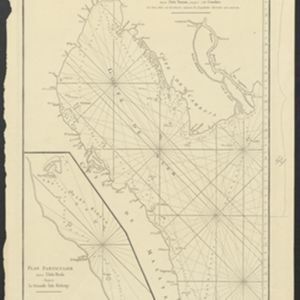
Carte Plate du Golfe de Siam: avec une partie des Côtes de Malaye et de Camboje, depuis l'Isle Timon, jusqu'à celle Condor event1775 location_onCambodia, Malaysia, Thailand
Carte Plate du Golfe de Siam: avec une partie des Côtes de Malaye et de Camboje, depuis l'Isle Timon, jusqu'à celle Condor event1775 location_onCambodia, Malaysia, Thailand
De Straat Sunda in de Oost-Indische Zee tussen de Eylanden Sumatra en Java eventc.1750 location_onIndonesia
De Straat Sunda in de Oost-Indische Zee tussen de Eylanden Sumatra en Java eventc.1750 location_onIndonesia