Search

Search Results

India orientalis

event1744

location_onBrunei, Cambodia, East Timor, Indonesia, Laos, Malaysia, Myanmar, Philippines, Singapore, Southeast Asia, Thailand, Vietnam

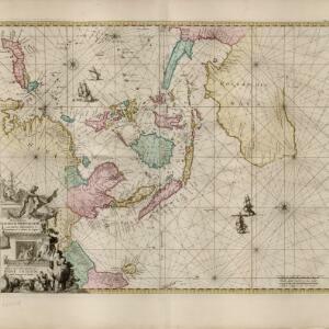
This map features a rhumbline network, a web of lines to help plot routes and aid navigation. Where the lines meet, there is a compass rose with an arrow pointing to north.

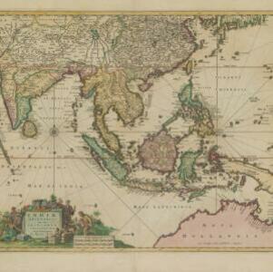
Orientaliora Indiarum Orientalium cum insulis adjacentibus à promontorio C. Comorin ad Iapan = Pascaert van t'Ooster gedeelte van Oost Indien van C. Comorin tot Iapan

event1715

location_onBrunei, Cambodia, East Timor, Indonesia, Laos, Malaysia, Myanmar, Philippines, Singapore, Southeast Asia, Thailand, Vietnam

The cartouche on this early 18th century navigation map features the title in Latin and Dutch, as well as a wealth of detailed drawings illustrating the region’s trade: Asian merchants, their goods and animals, and two female European customers.

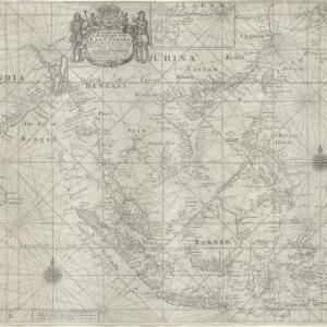
A chart of the eastermost part of the East Indies and China, from Cape Comarine to Iapan, with all the adjacent islands

event1711

location_onBrunei, Cambodia, East Timor, Indonesia, Laos, Malaysia, Myanmar, Philippines, Singapore, Southeast Asia, Thailand, Vietnam

An early 18th century navigation map, with a rhumbline network and a scale in English, French, Spanish and Dutch measurements. The cartouche includes a drawing of Asian people as primitive natives, as they were often seen in the West at the time.

Indiæ Orientalis nec non Insularum Adiacentium Nova Descriptio

event1685

location_onBrunei, Cambodia, East Timor, Indonesia, Laos, Malaysia, Myanmar, Philippines, Singapore, Southeast Asia, Thailand, Vietnam

The cartouche on this map of Asia is decorated with a colourful painting illustrating the region’s commerce, with Asian merchants displaying an assortment of goods, including jewellery, porcelain vessels and figurines, textiles and exotic animals.

Paskaerte zynde t'Oosterdeel van Oost Indien, met alle de Eylanden daer ontrendt geleegen van C. Comorin tot aen Iapan

event1666

location_onBrunei, Cambodia, East Timor, Indonesia, Laos, Myanmar, Malaysia, Singapore, Philippines, Southeast Asia, Vietnam, Thailand

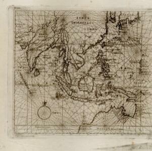
This map of Southeast Asia features a rhumbline network, a web of lines used to aid navigation. Coastal areas are detailed while interiors are mainly blank, and there are illustrations of sailing ships, reinforcing the maritime focus of this map.

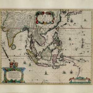
India quae Orientalis dicitur, et insvlae adiacentes

event1664

location_onBrunei, Cambodia, East Timor, Indonesia, Laos, Malaysia, Myanmar, Philippines, Singapore, Southeast Asia, Thailand, Vietnam

French text on the reverse of this map describes the religion, languages, crops, trade etc. of Aracam and Pegu (Myanmar), Siam (Thailand), Cambaja (Cambodia). The map is dedicated to the Dutch merchant Christophoro Thisio.

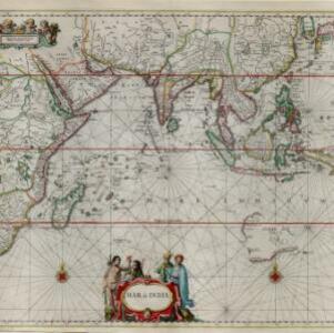
Mar di India

event1659

location_onBrunei, Cambodia, East Timor, Indonesia, Laos, Malaysia, Myanmar, Philippines, Singapore, Southeast Asia, Thailand, Vietnam

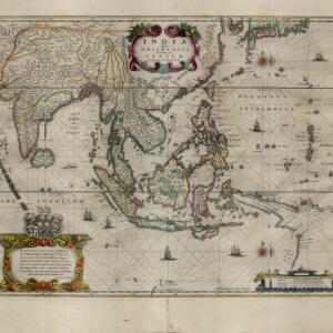
This mid-17th century map of the Indian Ocean has a colourful cartouche illustrated with paintings of Asian merchants and warriors with bows and arrows. The scale is decorated with paintings of cherubs.

India quae Orientalis dicitur, et insvlae adiacentes

eventc.1645-1658

location_onBrunei, Cambodia, East Timor, Indonesia, Laos, Malaysia, Myanmar, Philippines, Singapore, Southeast Asia, Thailand, Vietnam

German text on the reverse of this map describes the populations, crops, trade etc. of Sumatra, Borneo, Philippines, and Banda Islands. There are drawings of sailing ships, and the map is dedicated to the Dutch merchant Christophoro Thisio.

Descriptio hydrographica accommodata ad battavorum navagatione in Javam insulam Indiæ Orientalis

eventc.1599-1628

location_onBrunei, Cambodia, East Timor, Indonesia, Laos, Malaysia, Myanmar, Philippines, Singapore, Southeast Asia, Thailand, Vietnam

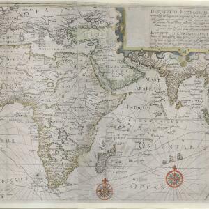
This map shows the route of the first Dutch expedition to Southeast Asia in 1595-7. Led by Cornelis de Houtman, it was an attempt to enter the spice trade. The route crosses east over the Indian Ocean, circles the island of Java, and returns west.

close

  • Filter from 1599 to 1744

Current results range from 1599 to 1744