Search

Search Results

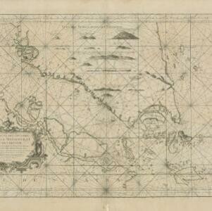
Carte réduite des détroits de Malaca, Sincapour, et du Gouverneur

event1755

location_onMalaysia, Singapore, Indonesia

Maps like this aided navigation through the islands, shoals and reefs of Singapore and the Malacca Strait. Three routes around Singapore are shown, numbers on the sea indicate water depth, and the profile views of mountains were used as landmarks.

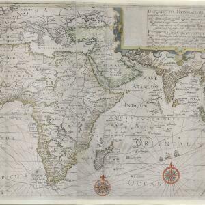
Descriptio hydrographica accommodata ad battavorum navagatione in Javam insulam Indiæ Orientalis

eventc.1599-1628

location_onBrunei, Cambodia, East Timor, Indonesia, Laos, Malaysia, Myanmar, Philippines, Singapore, Southeast Asia, Thailand, Vietnam

This map shows the route of the first Dutch expedition to Southeast Asia in 1595-7. Led by Cornelis de Houtman, it was an attempt to enter the spice trade. The route crosses east over the Indian Ocean, circles the island of Java, and returns west.

close

  • Filter from 1599 to 1755

Current results range from 1599 to 1755