Search

Search Results

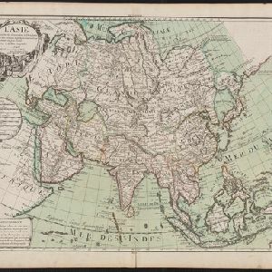
L'Asie dressée sur les observations de l'Academie Royale des Sciences, et quelques autres, et sur les memoires les plus recens

event1700

location_onBrunei, Cambodia, East Timor, Indonesia, Laos, Malaysia, Myanmar, Philippines, Singapore, Southeast Asia, Thailand, Vietnam

This early 18th century map of Asia features a note stating that there are new features on this map not seen on previous maps, and that this is not a mistake. The cartouche features a column of Asian people riding on horses and camels.

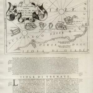
Le Molucche

event1692

location_onIndonesia

Map of a small island chain off the west coast of Gilolo (modern Halmahera in the Maluku Islands, Indonesia). Italian text describes the larger islands (Ternate and Tidore) and the Philippines. From Vicenzo Coronelli's ‘Corso Geografico Universale’.

Carte a faite sur les lieux par Daniel Tavernier in plusieurs Voiages qu'il fait au Tonquin

event1679

location_onVietnam

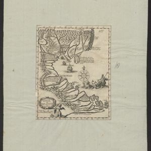
Early map of the coast of Tunquin (modern northern Vietnam) made by the French merchant and adventurer Daniel Tavernier. It features a drawing of Poseidon/Neptune riding in a sea chariot pulled by horses, and extensive notes describing the region.

Insulæ Indiæ orientalis

event1630

location_onBrunei, Cambodia, East Timor, Indonesia, Laos, Malaysia, Myanmar, Philippines, Singapore, Southeast Asia, Thailand, Vietnam

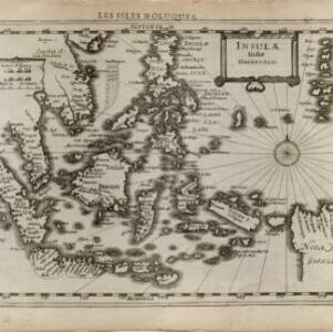
The southern coast of Java ('Iava Maior') on this map is represented by a dotted line, indicating that the exact coastline was unknown at this time. French text on the reverse describes the geography, crops, animals etc. of the Maluku Islands.

Moluccæ insulæ

event1618

location_onIndonesia, East Timor

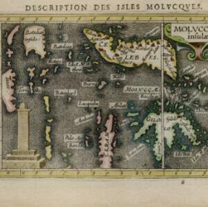
Unusually, north is located to the right of this early 17th century map of the Maluku Islands, rather than the top. The scale is shown on a stone monument. French text on the reverse describes Java.

Asie

event1575

location_onBrunei, Cambodia, East Timor, Indonesia, Laos, Malaysia, Myanmar, Philippines, Singapore, Southeast Asia, Thailand, Vietnam

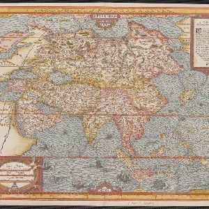
A colourful 16th century map by André Thevet, with illustrations of ships and sea monsters around the seas of Southeast Asia. The map's scale is decorated with cartography tools such as rulers and a compass.

close