Search Results
6 Results found

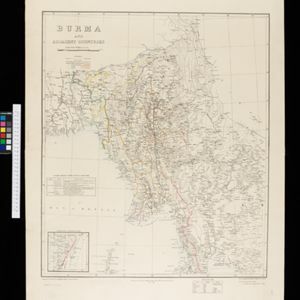
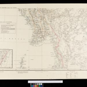
Burma and adjacent countries: With additions and corrections to boundaries and railways up to December, 1898
1898
Myanmar, Thailand
The regional and national borders of Burma and Siam are hand-coloured on this map. Provinces, districts and states within Burma are also highlighted, and itemised in a separate list.

Burma with parts of India, China and Siam
1888
Myanmar, Laos, Thailand
Map of Burma used as advertising by a clothing shop in Rangoon (Yangon, Myanmar). There is a calendar with each day marked with an historic event. The map is labelled with indigenous peoples (uppercase red text) and products of each area.

Eastern islands or Malay archipelago
1836
Brunei, Cambodia, East Timor, Indonesia, Laos, Malaysia, Myanmar, Philippines, Singapore, Southeast Asia, Vietnam, Thailand
Brief notes printed on this 19th century map of Southeast Asia provide details about each region, including: numbers and ethnicity of the population, local or colonial rulers, crops and products, geography (corals, forests, volcanos, earthquakes).
- Filter from 1836 to 1899
- [remove]District/Administrative Border6
- [remove]Regional Border6
- National Border5
- Colonial Possessions4
- Longitude and Latitude6
- [remove]Scale6
- [remove]Written Note/Details6
- Contour Lines/Elevation2


