Search

Search Results

Asiatic archipelago

event1858

location_onVietnam, Myanmar, Papua New Guinea, Philippines, Singapore, Southeast Asia, Thailand, Malaysia, Laos, Indonesia, East Timor, Cambodia, Brunei

This late 19th century map of Southeast Asia shows the best maritime routes around the region, according to the time of year. There are also inset maps highlighting the rivers and southern islands of Singapore, and the sea depth around Labuan Island.

Asiatic archipelago

event1840

location_onVietnam, Myanmar, Papua New Guinea, Philippines, Singapore, Southeast Asia, Thailand, Malaysia, Laos, Indonesia, East Timor, Brunei, Cambodia

This late 19th century map of Southeast Asia shows the best maritime routes around the region, according to the time of year. There is also an inset map highlighting the rivers and southern islands of Singapore.

Eastern islands or Malay archipelago

event1836

location_onBrunei, Cambodia, East Timor, Indonesia, Laos, Malaysia, Myanmar, Philippines, Singapore, Southeast Asia, Vietnam, Thailand

Brief notes printed on this 19th century map of Southeast Asia provide details about each region, including: numbers and ethnicity of the population, local or colonial rulers, crops and products, geography (corals, forests, volcanos, earthquakes).

Asiatic archipelago

event1832

location_onVietnam, Myanmar, Papua New Guinea, Philippines, Singapore, Southeast Asia, Thailand, Malaysia, Laos, Indonesia, East Timor, Cambodia, Brunei

This late 19th century map of Southeast Asia shows the best maritime routes around the region, according to the time of year. There is also an inset map highlighting the rivers and southern islands of Singapore.

A new and accurate map of the East India Islands: laid down according to the latest discoveries, and agreeable to the most approved maps & charts

eventc.1744-1747

location_onBrunei, Cambodia, East Timor, Indonesia, Laos, Malaysia, Myanmar, Philippines, Singapore, Southeast Asia, Thailand, Vietnam

This mid-18th century map of Southeast Asia includes written notes on goods produced and traded, geographical features, and wild animals found in each part of the region.

Isole dell'Indie divise in Filippine, Molucche e della Sonda

event1680

location_onBrunei, Cambodia, East Timor, Indonesia, Malaysia, Laos, Myanmar, Philippines, Singapore, Southeast Asia, Thailand, Vietnam

Dotted lines and colours divide maritime Southeast Asia into three regions on this map: the Philippine archipelago, Maluku Islands and Sunda Islands. The cartouche features cherub mermaids, and a map of mainland Southeast Asia is on the reverse.

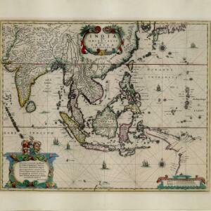
India quae Orientalis dicitur, et insvlae adiacentes

event1664

location_onBrunei, Cambodia, East Timor, Indonesia, Laos, Malaysia, Myanmar, Philippines, Singapore, Southeast Asia, Thailand, Vietnam

French text on the reverse of this map describes the religion, languages, crops, trade etc. of Aracam and Pegu (Myanmar), Siam (Thailand), Cambaja (Cambodia). The map is dedicated to the Dutch merchant Christophoro Thisio.

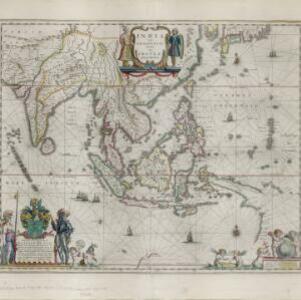
India quae Orientalis dicitur, et insvlae adiacentes

event1664

location_onBrunei, Cambodia, East Timor, Indonesia, Laos, Malaysia, Myanmar, Philippines, Singapore, Southeast Asia, Vietnam, Thailand

A map of Asia decorated with colourful illustrations including two men in ‘eastern’ clothing, the Greek goddess Athena with a coat of arms and a knight in armour, and cherubs playing with cartography tools: a globe, compass, and pair of callipers.

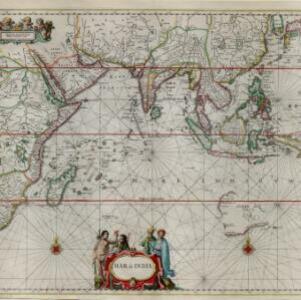
Mar di India

event1659

location_onBrunei, Cambodia, East Timor, Indonesia, Laos, Malaysia, Myanmar, Philippines, Singapore, Southeast Asia, Thailand, Vietnam

This mid-17th century map of the Indian Ocean has a colourful cartouche illustrated with paintings of Asian merchants and warriors with bows and arrows. The scale is decorated with paintings of cherubs.

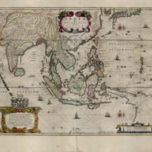
India quae Orientalis dicitur, et insvlae adiacentes

eventc.1645-1658

location_onBrunei, Cambodia, East Timor, Indonesia, Laos, Malaysia, Myanmar, Philippines, Singapore, Southeast Asia, Thailand, Vietnam

German text on the reverse of this map describes the populations, crops, trade etc. of Sumatra, Borneo, Philippines, and Banda Islands. There are drawings of sailing ships, and the map is dedicated to the Dutch merchant Christophoro Thisio.

Insulæ Indiæ orientalis præcipuæ: in quibus Moluccæ celeberrimæ sunt

event1623

location_onBrunei, Cambodia, East Timor, Indonesia, Laos, Malaysia, Myanmar, Philippines, Singapore, Southeast Asia, Thailand, Vietnam

On the right of this map, Latin text held within an elaborate border notes that five of the Maluku Islands are located nearby—Ternate, Tidore, Moti, Makian and Bacan—which trade spices including clove, cinnamon, nutmeg and ginger to the world.

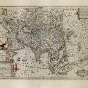
Asiæ Nova Descriptio Auctore Jodoco Hondio

eventc.1613-1619

location_onBrunei, Cambodia, East Timor, Indonesia, Laos, Malaysia, Myanmar, Philippines, Singapore, Southeast Asia, Thailand, Vietnam

An early 17th century map by the Flemish/Dutch cartographer Jodocus Hondius showing Asia and part of Europe and Africa. The Latin text on New Guinea translates as ‘Whether it is an island or the southern part of the continent is not yet certain’.

close

  • Filter from 1596 to 1858

Current results range from 1596 to 1858