Search Results
4 Results found

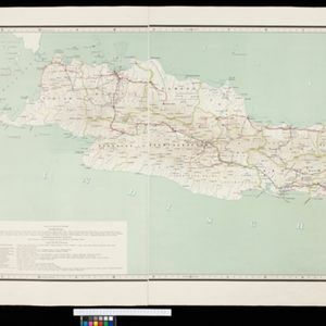
Topographische kaart van de residentie Preanger regentschappen
1894
Indonesia
The residency of Preanger (Parahyangan), West Java, with plantations (coconut, coffee, tea, cinchona (‘kina’), betel, teakwood, bamboo) and crops (rice, sugarcane, alang-alang). Two inset maps: a triangulation map, and a map of land route distances.

Topographische kaart der residentie Besoeki
1888
Indonesia
The residency of Besoeki (Besuki), East Java, featuring crops (rice, alang-alang, bamboo, coconut); fishing ponds; factories, warehouses, businesses; routes, administrative borders; churches, cemeteries, forts, lighthouses; mountains, rivers, lakes.

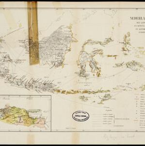
Handelskaartje van den Nederlandsch Indischen archipel
1883
Indonesia, East Timor
This map is concerned with trade in the Dutch East Indies, highlighting useful resources such as maritime routes, railways, telegraph lines and offices, coast and harbour lights, offices of officials, areas that apply tolls and duties etc.
- Filter from 1883 to 1898
- [remove]Dutch East Indies4
- [remove]Java4
- Bandawasa1
- Bandoeng1
- Bandung1
- Banjoewangi1
- Banyuwangi1
- Batavia1
- Besoeki1
- Besuki1
- Bondowoso1
- Borneo1
- more Detailed Location »
- [remove]Telegraph/Telephone4
- Railway/Tramway3
- Road3
- Path2
- Postal Route2
- River1


