Search

Search Results

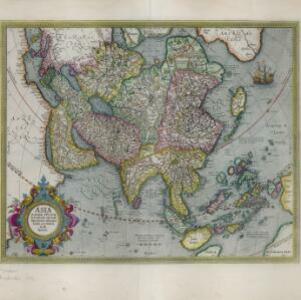
Asia: ex magna orbis terre descriptione Gerardi Mercatoris desumpta, studio & industria G.M. Iunioris

event1630

location_onBrunei, Cambodia, East Timor, Indonesia, Laos, Malaysia, Myanmar, Philippines, Singapore, Southeast Asia, Thailand, Vietnam

Originally published in Gerardus Mercator's ‘Atlas Sive Cosmographicae Meditationes de Fabrica Mundi et Fabricati Figura’ (1595), the title of which was the first use of the word ‘atlas’ to refer to a collection of maps. This is a 1630 reprint.

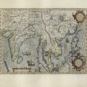
India orientalis

event1630

location_onBrunei, Cambodia, Indonesia, Laos, Malaysia, Myanmar, Philippines, Singapore, Thailand, Vietnam

As was common in this era, this map mistakenly shows the bottom of Peninsula Malaya as a separate island. The map also features illustrations of ships and a sea monster. Latin text on the reverse describes the people, crops, geography of the region.

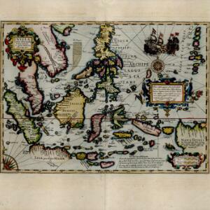
Insulæ Indiæ orientalis præcipuæ: in quibus Moluccæ celeberrimæ sunt

event1623

location_onBrunei, Cambodia, East Timor, Indonesia, Laos, Malaysia, Myanmar, Philippines, Singapore, Southeast Asia, Thailand, Vietnam

On the right of this map, Latin text held within an elaborate border notes that five of the Maluku Islands are located nearby—Ternate, Tidore, Moti, Makian and Bacan—which trade spices including clove, cinnamon, nutmeg and ginger to the world.

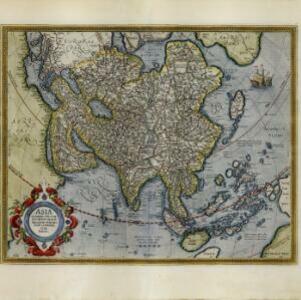
Asia: ex magna orbis terre descriptione Gerardi Mercatoris desumpta, studio et industria G.M. Iunioris

eventc.1613-1630

location_onBrunei, Cambodia, East Timor, Indonesia, Laos, Malaysia, Myanmar, Philippines, Singapore, Southeast Asia, Thailand, Vietnam

Although quite detailed for an early 17th century map of Asia, there are some inaccuracies in the representation of the islands of Southeast Asia, particularly Java (labelled 'Iaua maior'), Borneo (Burne), Sulawesi (Celebes) and the Maluku Islands.

Asia: ex magna orbis terre descriptione Gerardi Mercatoris desumpta, studio et industria G.M. Iunioris

eventc.1609-1619

location_onBrunei, Cambodia, East Timor, Indonesia, Laos, Malaysia, Myanmar, Philippines, Singapore, Southeast Asia, Thailand, Vietnam

Although quite detailed for an early 17th century map of Asia, there are some inaccuracies in the representation of the islands of Southeast Asia, particularly Java (labelled 'Iaua maior'), Borneo (Burne), Sulawesi (Celebes) and the Maluku Islands.

Insulæ Indiæ orientalis præcipuæ: in quibus Moluccæ celeberrimæ sunt

event1606

location_onBrunei, Cambodia, East Timor, Indonesia, Laos, Malaysia, Myanmar, Philippines, Singapore, Southeast Asia, Thailand, Vietnam

On the right of this map, Latin text held within an elaborate border notes that five of the Maluku Islands are located nearby—Ternate, Tidore, Moti, Makian and Bacan—which trade spices including clove, cinnamon, nutmeg and ginger to the world.

close

  • Filter from 1606 to 1630

Current results range from 1606 to 1630