Search

Search Results

Atlas van Nederlandsch Oost-Indië

eventc.1897-1904

location_onIndonesia

Very detailed atlas of the entire Dutch East Indies, over 16 map sheets, with a cover and overview map. Includes topographic maps, inset maps of cities and islands, and maps featuring land and sea routes, languages, geology, colonial territory etc.

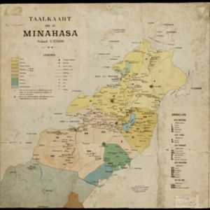
Taalkaart van de Minahasa

event1895

location_onIndonesia

This map of the northern tip of the Minahasa Peninsula, Celebes (Sulawesi) is colour-coded with the nine languages and dialects spoken in the area. Administrative departments and districts are also marked and listed.

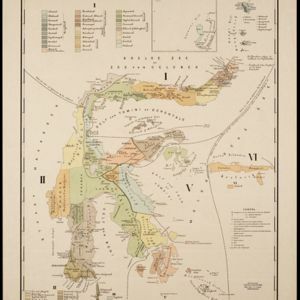
Schets-taalkaart van Celebes

event1894

location_onIndonesia

This map is colour-coded to show the dozens of different languages and dialects spoken on Celebes (Sulawesi) and the surrounding islands in the late 19th century.

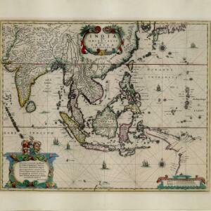
India quae Orientalis dicitur, et insvlae adiacentes

event1664

location_onBrunei, Cambodia, East Timor, Indonesia, Laos, Malaysia, Myanmar, Philippines, Singapore, Southeast Asia, Thailand, Vietnam

French text on the reverse of this map describes the religion, languages, crops, trade etc. of Aracam and Pegu (Myanmar), Siam (Thailand), Cambaja (Cambodia). The map is dedicated to the Dutch merchant Christophoro Thisio.

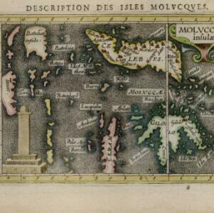
Moluccæ insulæ

event1618

location_onIndonesia, East Timor

Unusually, north is located to the right of this early 17th century map of the Maluku Islands, rather than the top. The scale is shown on a stone monument. French text on the reverse describes Java.

close

  • Filter from 1618 to 1897

Current results range from 1618 to 1897