Search

Search Results

Kaart van den Nederlandsch-Indischen Archipel

event1890

location_onIndonesia, East Timor, Brunei, Cambodia, Malaysia, Philippines, Singapore, Southeast Asia, Thailand, Vietnam

The seas of the Dutch East Indies are the focus of this map, with maritime routes, sea temperature, sea depth, currents and monsoons shown. There are graphs of population by ethnicity, agriculture and livestock, trade and shipping, and trade exports.

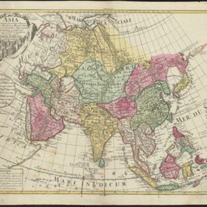
Asia Concinnata Secundum Observationes Academiæ Regalis Scientiarum et nonnullas alias, et juxta annotationes recentissimas

eventc.1750

location_onBrunei, Cambodia, East Timor, Indonesia, Laos, Malaysia, Myanmar, Philippines, Singapore, Southeast Asia, Thailand, Vietnam

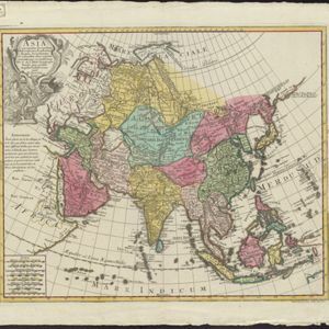
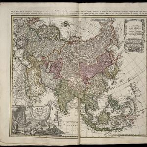
This mid-18th century map of Asia features a note stating that there are new features on this map not seen on previous maps, and that this is not a mistake. The cartouche features a column of Asian people riding on horses and camels.

Asia Concinnata Secundum Observationes Academiæ Regalis Scientiarum et nonnullas alias, et juxta annotationes recentissimas

eventc.1750

location_onBrunei, Cambodia, East Timor, Indonesia, Malaysia, Laos, Myanmar, Philippines, Singapore, Southeast Asia, Thailand, Vietnam

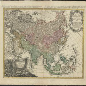
This mid-18th century map of Asia features a note stating that there are new features on this map not seen on previous maps, and that this is not a mistake. The cartouche features a column of Asian people riding on horses and camels.

Asia Concinnata Secundum Observationes Academiæ Regalis Scientiarum et nonnullas alias, et juxta annotationes recentissimas

eventc.1750

location_onBrunei, Cambodia, East Timor, Indonesia, Laos, Malaysia, Myanmar, Philippines, Singapore, Southeast Asia, Thailand, Vietnam

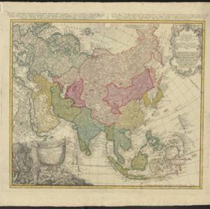
This mid-18th century map of Asia features a note stating that there are new features on this map not seen on previous maps, and that this is not a mistake. The cartouche features a column of Asian people riding on horses and camels.

Asia Concinnata Secundum Observationes Academiæ Regalis Scientiarum et nonnullas alias, et juxta annotationes recentissimas

eventc.1750

location_onBrunei, Cambodia, East Timor, Indonesia, Malaysia, Laos, Myanmar, Philippines, Singapore, Southeast Asia, Thailand, Vietnam

This mid-18th century map of Asia features a note stating that there are new features on this map not seen on previous maps, and that this is not a mistake. The cartouche features a column of Asian people riding on horses and camels.

Asia secundum legitimas projectionis stereographicae regulas et juxta recentissimas observation et relationes = Carte de l'Asie, projettée stereographiquement, tirée des relations et observations

event1744

location_onBrunei, Cambodia, East Timor, Indonesia, Malaysia, Laos, Myanmar, Philippines, Singapore, Southeast Asia, Thailand, Vietnam

This mid-18th century map of Asia has a stereographic projection to aid navigation. An illustration features Asian men—probably merchants, one of whom sits on a throne—and a kneeling elephant.

Asia secundum legitimas projectionis stereographicae regulas et juxta recentissimas observation et relationes = Carte de l'Asie, projettée stereographiquement, tirée des relations et observations

event1744

location_onBrunei, Cambodia, East Timor, Indonesia, Laos, Malaysia, Myanmar, Philippines, Singapore, Southeast Asia, Thailand, Vietnam

This mid-18th century map of Asia has a stereographic projection to aid navigation. An illustration features Asian men—probably merchants, one of whom sits on a throne—and a kneeling elephant.

Insulae Iavae pars Occidentalis

event1728

location_onIndonesia

A map of Java with mountains, jungles, animals and crops. Bathymetry (sea depth) is marked, including on an inset map of Batavia harbour. Illustrations include Batavia Castle, and a lion—representing Belgium—receiving tribute and enslaving locals.

A map of the East-Indies and the adjacent countries: with the settlements, factories and territories, explaning what belongs to England, Spain, France, Holland, Denmark, Portugal &c.

eventc.1720

location_onBrunei, Cambodia, East Timor, Indonesia, Laos, Malaysia, Myanmar, Philippines, Singapore, Southeast Asia, Thailand, Vietnam

This map showcases the colonial territories of Southeast Asia in the 18th century, with text detailing trading information and the products of each region. There are five inset maps featuring plans of specific trading ports.

close