Search

Search Results

Kaart van Nederlandsch-Indie

event1893

location_onBrunei, Cambodia, Indonesia, Malaysia, Singapore, Thailand, Vietnam, East Timor, Philippines, Southeast Asia

Shipping routes are the focus of this map of the Dutch East Indies, indicated by red lines labelled with the name of the shipping company and the destinations. Parcel shipping routes are also shown. Inset maps feature railway lines too.

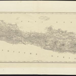
Kaart van het eiland Java uit de nieuwste bronnen zamengesteld

event1855

location_onIndonesia

Map of Java divided into administrative areas (‘residencies’ and ‘regencies’). Mountains are represented by hachures, short lines/dashes that give a sense of the shape and steepness of terrain. Postal routes and roads are also marked.

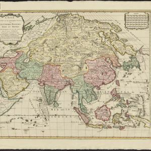
Asie divisée en ses Empires, Royaumes et Etats

event1794

location_onBrunei, Cambodia, East Timor, Indonesia, Laos, Malaysia, Myanmar, Philippines, Singapore, Southeast Asia, Thailand, Vietnam

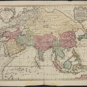
This map of Asia features a decorative cartouche with drawings of two women—one with a cornucopia and one with a censer (incense burner)—and a French coat of arms. Interestingly, the map is dated 1792, during the French Revolution.

Grundris der stadt und citadelle Batavia

event1785

location_onIndonesia

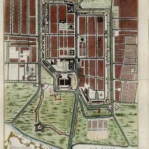
A plan of the port of Batavia with a detailed legend identifying parts of the city. The sword and laurel wreath of the city’s coat of arms, and the Dutch East India Company flag (marked ‘VOC’ or ‘Vereenigde Oost Indische Compagnie’) are also shown.

Plan der stad en 't kasteel Batavia

event1780

location_onIndonesia

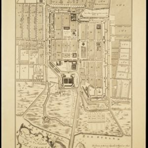
A plan of the port of Batavia with a detailed legend identifying parts of the city. The sword and laurel wreath of the city’s coat of arms, and the Dutch East India Company flag (marked ‘VOC’ or ‘Vereenigde Oost Indische Compagnie’) are also shown.

Nouvelle Carte de l'isle de Java

eventc.1772-1780

location_onIndonesia

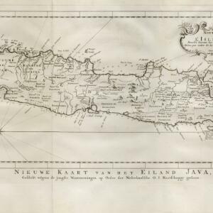
On this map of Java, mountains are shown pictorially and labelled with their name. The coasts are marked with shoals, reefs, bathymetry (sea depth, in figures) and anchor points. The land is divided into administrative districts.

Carte des environs de Batavia = Kaart van de buitenstreeken van Batavia

eventc.1772-1780

location_onIndonesia

This late 18th century map of Batavia (Jakarta) focusses on the network of canals and rivers surrounding the city, as well as the many fields and plantations, including rice fields (‘Champ de Ris’) and sugarcane (‘Cannes de Sucre’).

L'Asie divisée en ses principales parties oú les Empires, Roïaumes, Etats et Peuples sont distingues les uns des autres

eventc.1740

location_onBrunei, Cambodia, East Timor, Indonesia, Laos, Malaysia, Myanmar, Philippines, Singapore, Southeast Asia, Thailand, Vietnam

The southern coast of Borneo is labelled ‘Cote des Mahometans [Coast of the Muslims]’. A note next to the Philippines states that they were discovered by Ferdinand Magellan in 1520 and are comprised of about 11,000 islands.

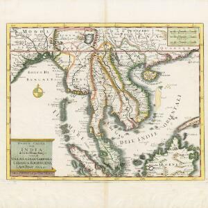
Nuova carta dell' India di là del Fiume Ganges overo di Malacca, Siam, Cambodia, Chiampa, Kochinchina, Laos, Pegu, Ava &c.

event1740

location_onBrunei, Cambodia, Indonesia, Laos, Malaysia, Myanmar, Singapore, Thailand, Vietnam, Southeast Asia

Based on a map by Guillaume Delisle, this map of Southeast Asia shows mountains and settlements pictorially, with larger cities also coloured red. Regional borders are colour-coded, as are some internal borders on the Malay Peninsula.

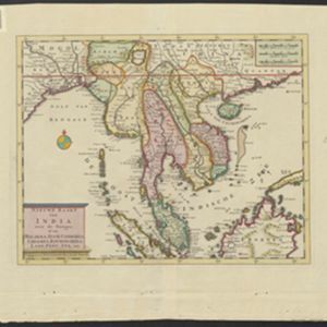
Nieuwe kaart van India over de Ganges: of van Malakka, Siam, Cambodia, Chiampa, Kochinchina, Laos, Pegu, Ava enz.

event1739

location_onBrunei, Cambodia, Indonesia, Laos, Malaysia, Myanmar, Singapore, Thailand, Vietnam, Philippines

On this map, mainland Southeast Asia is divided into regions such as Cochin China, Ciampa and Tunquin (modern Vietnam), Siam (Thailand), Pegu, Aracan and Ava (Myanmar), Malacca (Malaysia), Laos and Cambodia. Rivers and settlements are also shown.

close