Search

Search Results

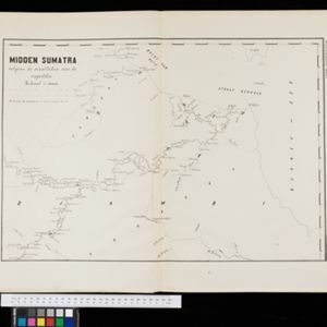
Midden-Sumatra: Reizen en onderzoekingen der Sumatra-expeditie... 1877-1879

event1882

location_onIndonesia

An Atlas produced by an expedition in central Sumatra, including: maps of topography, geology, a number of rivers in the region; drawings of mountains, graphs of lengths of roads; family trees of the royal families of Djambi (Jambi) and Palembang.

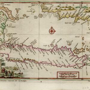
Het Eiland Java: zoo als het sederd de tyden der Portugysen by de Ed. Oost-Indize maatschappye bekend geworden en bevaren is

event1714

location_onIndonesia

Published in the early 18th century by the Dutch publisher Pieter van der Aa (1659–1733), this map of Java and the Java Sea is decorated with a colourful painted scene of merchants and boats at a trading port.

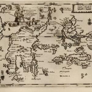
De Moluccos en andere Speceri-Eilanden in d'Oost-Indien

event1714

location_onIndonesia

Map of the ‘Spice Islands’ of maritime Southeast Asia, including the Maluku Islands. It is decorated with a drawing of an Asian man holding a large bird and a spear, and surrounded by baskets and boxes of goods of the spice trade.

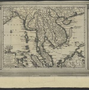
L'Inde de la Le Gange

event1713

location_onBrunei, Cambodia, Indonesia, Laos, Malaysia, Myanmar, Thailand, Vietnam

This map of mainland Southeast Asia features a label describing the local population of the mountains of Cochinchine (Vietnam) as ‘les Kemoi Sauvages [the Kemoi savages]’. The cartouche features a drawing of Asia with people, fields and palm trees.

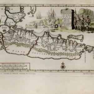
'T koninkryk Sunda met dat van Iava by d'Inwoonderen voor een Eiland

event1707

location_onIndonesia

Java is shown as two separate islands on this map, with the western island named Sunda. The southern coast is labelled as ‘unknown’. A colourful cartouche is decorated with a painting of indigenous Javanese people meeting and trading with Europeans.

close