Search

Search Results

Atlas van Nederlandsch Oost-Indië

eventc.1897-1904

location_onIndonesia

Very detailed atlas of the entire Dutch East Indies, over 16 map sheets, with a cover and overview map. Includes topographic maps, inset maps of cities and islands, and maps featuring land and sea routes, languages, geology, colonial territory etc.

Route chart to India and the East

event1895

location_onBrunei, Cambodia, East Timor, Indonesia, Laos, Malaysia, Myanmar, Philippines, Singapore, Southeast Asia, Thailand, Vietnam

Map of Asia featuring steamship routes—including around Southeast Asia—connecting ports such as Penang, Singapore, Batavia (Jakarta), Saigon, Bangkok, Rangun (Yangon), Manila, Macassar (Makassar) etc. There is also an inset map of Singapore.

Schutzgebiet der Neu-Guinea-Kompanie

eventc.1892-1893

location_onIndonesia, Papua New Guinea

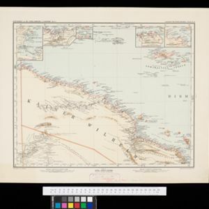
Very detailed six-sheet map of eastern New Guinea, with numerous inset maps of bays and islands, and other inset maps covering ethnography, explorers of the region, marine routes across the Pacific Ocean, cannibalism, missionaries activity etc.

Schetskaart der afdeeling Westkust van Atjeh

event1888

location_onIndonesia

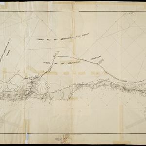
From a Dutch geographical society journal, this map of the west coast of Atjeh (Aceh), Sumatra, shows shoals, reefs, bathymetry (sea depth) and anchor points. On land, there are mountains (with heights), rivers, pepper plantations and rice fields.

Kaart van de Oosterhelft der Residentie Timor

event1860

location_onIndonesia

Map of the eastern half of the Dutch colonial administrative region (residency) of Timor, with an inset map of its capital city and port Timorkoepang (Kupang). (From ‘Algemeene Atlas van Nederlandsche Indie [General Atlas of the Dutch East Indies]’.)

Kaart van de Residentie Soerabaya

event1858

location_onIndonesia

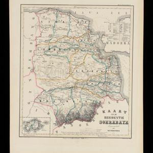
Map of the Dutch colonial administrative region (residency) of Soerabaya (Surabaya, Java), including the Madura Strait and an inset map of the island of Bawean. (From ‘Algemeene Atlas van Nederlandsche Indie [General Atlas of the Dutch East Indies]’.

Kaart van de Residentie Madoera en Onderhoorige Eilanden

event1858

location_onIndonesia

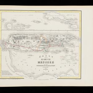
Map of the Dutch colonial administrative region of the island of Madoera (Madura), featuring bathymetry (sea depth), and an inset map of the Kangean Islands. (From ‘Algemeene Atlas van Nederlandsche Indie [General Atlas of the Dutch East Indies]’.)

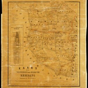
Kaart van de westerhelft der residentie Rembang

event1858

location_onIndonesia

Topographic map of the residency of Rembang, Central Java, divided into regencies and districts. Roads and villages are marked, with shoals, reefs and water depth at sea. An inset map of the city of Rembang features markets, warehouses, churches.

Algemeene Kaart van Nederlandsch Oostindie

event1842

location_onEast Timor, Indonesia, Malaysia, Singapore

This detailed map of the Dutch East Indies in the mid-19th century is spread over eight sheets, plus a cover sheet showing the whole area. There are numerous inset maps of islands, bays, cities etc.

Algemeene kaart van Nederlandsch Oostindie

eventc.1839-1855

location_onEast Timor, Indonesia, Malaysia, Singapore

This map of the Dutch East Indies is spread over eight sheets, with a hand-drawn cover sheet showing the whole area. There are numerous inset maps of islands, bays, cities etc. Two of the inset maps have a replacement map pasted over them.

A map of Java: chiefly from surveys made during the British administration

event1817

location_onIndonesia

Made for ‘A History of Java’ by Sir Stamford Raffles, this map includes a list of administrative districts with their populations, and four inset maps of harbours. Another inset map shows rocks and minerals, mountains and volcanoes, and teak forests.

close

  • Filter from 1817 to 1897

Current results range from 1817 to 1897