Search

Search Results

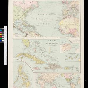
Special Map Illustrating the Spanish-American War

event1898

location_onPhilippines

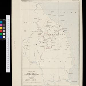
Sketch map of the Malay States, Kelantan and Trengganu, to illustrate the Paper by Hugh Clifford

event1896

location_onMalaysia

Route chart to India and the East

event1895

location_onBrunei, Cambodia, East Timor, Indonesia, Laos, Malaysia, Myanmar, Philippines, Singapore, Southeast Asia, Thailand, Vietnam

Trade Routes in the Far East

event1894

location_onBrunei, Cambodia, Indonesia, Laos, Malaysia, Myanmar, Philippines, Singapore, Thailand, Vietnam

New sketch map of the protected Malay State of Perak

event1892

location_onMalaysia

Extension of the Electric Telegraph to Canton, Hong Kong, etc. from the Port of Rangoon

event1860

location_onMyanmar, Cambodia, Indonesia, Laos, Malaysia, Singapore, Thailand, Vietnam

Map of Prince of Wales' Island or Pulo Penang and province Wellesley

event1853

location_onMalaysia

Map of the River of Don-nai from Cape St. James to the city of Saigon

event1820

location_onVietnam

A map of Java: chiefly from surveys made during the British administration

event1817

location_onIndonesia

A map of Java: chiefly from surveys made during the British administration

event1817

location_onIndonesia

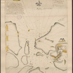
Bintang

eventc.1775-1799

location_onIndonesia, Malaysia

close