Search

Search Results

Military map of the Isle of Luzon

event1900

location_onPhilippines

A map of Luzon, Philippines divided into military and civilian regions. Made for the American military, it features roads, railways, telegraph lines, mountains and rivers. An inset map of Manila shows military, civil and religious buildings.

Island of Luzon

event1900

location_onPhilippines

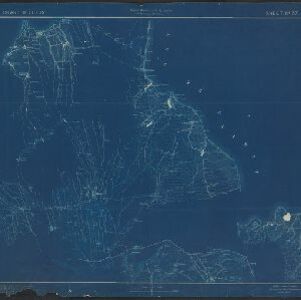
This map of part of the Philippine island of Luzon was compiled during the Philippine–American War (1899–1902), and is marked with routes (paths, wagon roads), land types (grass, woods, swamp) and crops (rice, coconuts, nipa palm, cane sugar, corn).

Manila, sus arrabales

event1900

location_onPhilippines

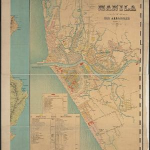
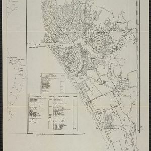
A plan of the city of Manila, Philippines, showing the streets and buildings—categorised as military (coloured red), civil (yellow) or religious (blue)—around the Pasig River. The city is surrounded by suburbs, fields and wetlands.

Eiland Temiang

eventc.1900-1909

location_onIndonesia

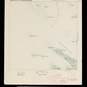
Map of the island of Temiang (Lingga Regency, off the east coast of Sumatra), featuring crops (coconut, alang-alang), mangroves, mountains (with their heights) and villages. Spread over five sheets, may not be complete or all from same original map.

Manila

event1899

location_onPhilippines

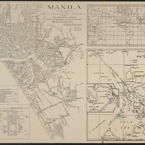
Plan of the city of Manila, Philippines, showing the streets and buildings—categorised as military, civil or religious—around the Pasig River. Maritime routes are highlighted on inset maps of Manila Bay, the Philippines and the world.

Zuidelijk gedeelte van de Chineesche zee: Blad I

event1899

location_onMalaysia, Singapore, Indonesia

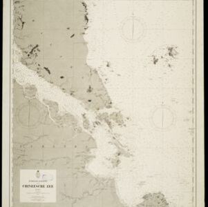
Navigation map of the southern part of the South China Sea, including the straits of Malacca and Singapore, and the Riau Archipelago. Bathymetry (sea depth), lighthouses, shoals and other obstructions are marked, with hills to use as landmarks.
Overzichtskaart van de Residentie Besoeki

event1899

location_onIndonesia

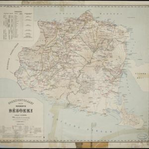
This map of the residency of Besoeki (Banyuwangi Regency, East Java) is divided into regencies and districts. Heights of mountains and settlements are given in metres, and distances are shown along roads. Sugar factories and fishing ponds are marked.
Kaart der residentie Zuider- en Ooster-afdeeling van Borneo

event1899

location_onIndonesia

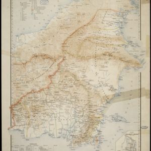
On this map, the residency of South and East Borneo is divided into departments (green borders) and provinces (yellow borders). There is an inset plan of the city of Banjarmasin, with rivers, buildings, residential areas, roads and crops marked.

Sumatra

eventc.1899-1902

location_onIndonesia

Eight sheets from a large-scale detailed topographic map of Sumatra (many other sheets are missing). Includes crops (rice, coconut, coffee, banana, sugar, gambier, cinnamon, bamboo, alang-alang, arenga palm), routes (railways, roads), settlements.

Manila, sus arrabales

event1898

location_onPhilippines

A late 19th century plan of the city of Manila, Philippines, showing the streets and buildings—categorised as military, civil or religious—around the Pasig River. The city is surrounded by suburbs, fields and wetlands.

Kaart van het gebied bezet in Groot-Atjèh

event1898

location_onIndonesia

A six-sheet map of Groot-Atjèh (Aceh, northern Sumatra) focusing on areas occupied during the Aceh War (1873–1904) between the Sultanate of Aceh and Dutch colonists. It shows military positions and fortifications, buildings, routes and crops.

Noordkust Java: Westervaarwater van Soerabaja

event1898

location_onIndonesia

This map of the Madura Strait between Java and Madura is designed to aid navigation: bathymetry (water depth), lighthouses, shoals and reefs, rocks and mud, anchor points, and landmark mountains are all marked. Text describes the tidal conditions.

close