
Search Results
Filter
Map Attributes
Scale
Remove constraint Map Attributes: Scale
Insets
Legend
Remove constraint Insets: Legend
Simple Location
Myanmar
Remove constraint Simple Location: Myanmar
Place of Publication
Dehradun
Remove constraint Place of Publication: Dehradun
Collections
Bodleian Libraries, University of Oxford
Remove constraint Collections: Bodleian Libraries, University of Oxford
21 Results found


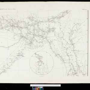


Index to relative positions of gold mining & prospecting grants: District Katha
1893
Myanmar
Map of the Katha district, Burma (Myanmar), with locations of gold mines and land allocated for prospecting. High points are marked and linked with lines to create a triangulation network. The Mu Valley State Railway and Mu River are shown.


