Search

Search Results

Mindanao

event1900

location_onPhilippines

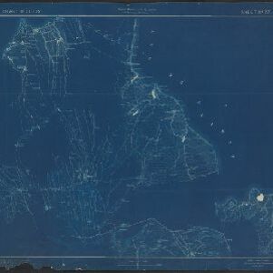
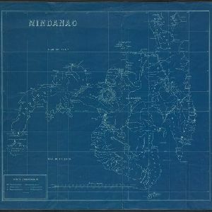
A map of Mindanao, Philippines made for the American military during the Philippine–American War (1899–1902). Areas are marked with the names of the local indigenous peoples. Flags indicate stations of American troops.

Military map of the Isle of Luzon

event1900

location_onPhilippines

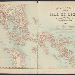
A map of Luzon, Philippines divided into military and civilian regions. Made for the American military, it features roads, railways, telegraph lines, mountains and rivers. An inset map of Manila shows military, civil and religious buildings.

Island of Luzon

event1900

location_onPhilippines

This map of part of the Philippine island of Luzon was compiled during the Philippine–American War (1899–1902), and is marked with routes (paths, wagon roads), land types (grass, woods, swamp) and crops (rice, coconuts, nipa palm, cane sugar, corn).

Manila, sus arrabales

event1900

location_onPhilippines

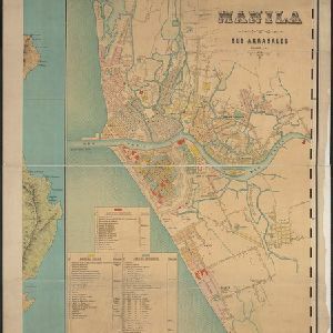
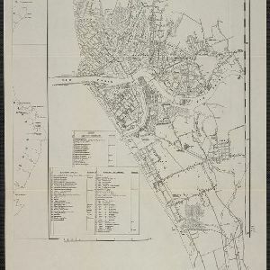
A plan of the city of Manila, Philippines, showing the streets and buildings—categorised as military (coloured red), civil (yellow) or religious (blue)—around the Pasig River. The city is surrounded by suburbs, fields and wetlands.

Manila

event1899

location_onPhilippines

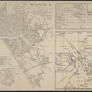
Plan of the city of Manila, Philippines, showing the streets and buildings—categorised as military, civil or religious—around the Pasig River. Maritime routes are highlighted on inset maps of Manila Bay, the Philippines and the world.

Burma

event1899

location_onMyanmar

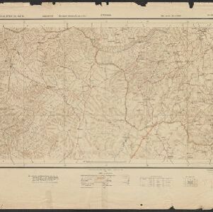
A large-scale topographical map of the states of Hsipaw, Lawksawk and Mongkung, within the Shan State of Burma (Myanmar). Elevation is indicated by contour lines, and travel and trade routes, villages, areas of cultivation and markets are also shown.

Manila, sus arrabales

event1898

location_onPhilippines

A late 19th century plan of the city of Manila, Philippines, showing the streets and buildings—categorised as military, civil or religious—around the Pasig River. The city is surrounded by suburbs, fields and wetlands.

Kaart van het gebied bezet in Groot-Atjèh

event1898

location_onIndonesia

A six-sheet map of Groot-Atjèh (Aceh, northern Sumatra) focusing on areas occupied during the Aceh War (1873–1904) between the Sultanate of Aceh and Dutch colonists. It shows military positions and fortifications, buildings, routes and crops.
Military map of the Isle of Luzon

event1898

location_onPhilippines

A map of southern Luzon, Philippines divided into military and civilian regions. Made for the American military just before the Philippine–American War (1899–1902), it features settlements, roads, railways, telegraph stations, mountains and rivers.

Topographische kaart van het eiland Billiton: vluchtig opgenomen in de jaren 1877-1878

event1894

location_onIndonesia

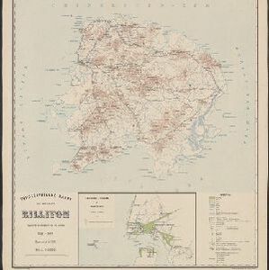
This map of the island of Billiton (Belitung, Indonesia) features mountains, rivers, railways, roads, settlements, coconut plantations and administrative borders. An inset map shows the island’s port and capital city Tanjung Pandan.
Reduzirte Karte von den Philippinen und den Sulu Inseln

event1884

location_onPhilippines, Malaysia, Indonesia

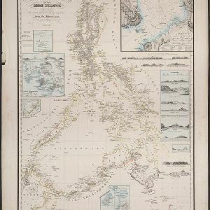
Maritime map of the Philippines, with inset maps of bays showing bathymetry (sea depth), shoals, reefs and anchor points. There is also an inset map of Taal Volcano, and elevations (side views of terrestrial landmarks like mountains and islands).
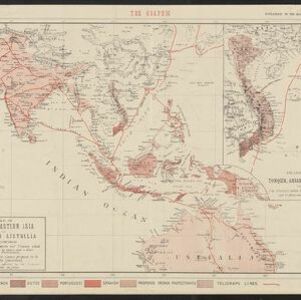
Map of South-Eastern Asia and Northern Australia: showing the districts in Annam and Tonquin which France proposes to annex and to place under a Protectorate, the portion of New Guinea proposed to be acquired by Queensland, and the districts affected by the volcanic eruptions in Java

event1883

location_onSoutheast Asia, Singapore, Thailand, East Timor, Vietnam, Brunei, Cambodia, Indonesia, Laos, Malaysia, Myanmar, Papua New Guinea, Philippines

This 1883 map shows European colonial territories in Southeast Asia. An inset map details the proposed French annexation of Tonquin, Annam and Cochin China (modern Vietnam). International telegraph lines are also marked.

close

  • Filter from 1820 to 1900

Current results range from 1820 to 1900