Search Results
Filter
Map Attributes
Scale
Remove constraint Map Attributes: Scale
Land Features
Jungle/Wooded Area
Remove constraint Land Features: Jungle/Wooded Area
Language
Dutch
Remove constraint Language: Dutch
Place of Publication
Batavia
Remove constraint Place of Publication: Batavia
Collections
Leiden University Libraries
Remove constraint Collections: Leiden University Libraries
28 Results found

Schetskaart van het N.W. gedeelte der Residentie Sumatra's Oostkust
1877
Indonesia
Rivers and crops are the focus of this map of the northeast coast of Sumatra. Forests and wetlands are marked, as are alang-alang, coconut, pepper, nutmeg and tobacco. Roads are shown as suitable for infantry and light artillery, or for horse riding.

Situatie kaart van een gedeelte der stad Batavia
1874
Indonesia
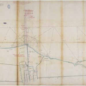
Map of the coastline of the bay of Batavia (Jakarta) showing the extension of the port’s pier (in red, labelled CD), the sand and mud bank and bathymetry (sea depth) in the bay, and notes regarding changes in tide levels over the years.


