Search

Search Results

Plan of the town and suburbs of Rangoon

eventc.1895-1897

location_onMyanmar

Detailed plan of the city of Rangoon (Yangon, Myanmar) with commercial, religious, government and military buildings, surrounded by lakes, fields of crops and villages. Someone has drawn details on the map of areas that have undergone ‘levelling’.

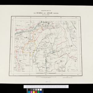
Skeleton map of the Burma and Assam frontier

event1891

location_onMyanmar

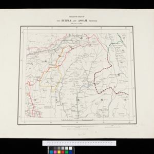
Map of Upper Burma showing the border with Assam (India) and China. The names of indigenous peoples are shown (‘Singphos’), along with the Irrawaddy River, railways and resources (‘Teak Forests’, mines (silver, copper, sulphur, rubies, coal, jade)).

British Burma, Pegu division: With additions to railways up to 1891

event1891

location_onMyanmar

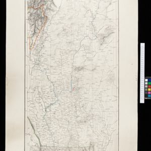
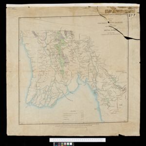
Topographical map of the Pegu Division of British Burma (Myanmar), spread over four sheets. In addition to mountains, forests, rivers and wetlands, rice fields, routes (road, railway, path, telegraph), villages and pagodas are marked.

Upper Burma: Preliminary map 1887

event1887

location_onMyanmar

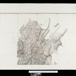
Map of Upper Burma, with the city of Mandalay highlighted in red in the centre, and featuring the Irrawaddy and Chindwin rivers, roads and settlements. Mountains, forests and mines (coal, silver, rubies, amber) are marked.

Skeleton map of the Burma and Assam frontier

event1886

location_onMyanmar

Map of Upper Burma showing the border with Assam (India) and China. The names of indigenous peoples are shown (‘Singphos’), along with the Irrawaddy River, railways and resources (‘Teak Forests’, mines (silver, copper, sulphur, rubies, coal, jade)).

Eastern Naga Hills and Manipur with adjoining portions of Burmah

event1882

location_onMyanmar

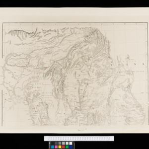
This map shows the border between British India and Burmah (Myanmar). Although the Burmah part of the map is mostly blank, the Chindwin River is shown, along with some other details including a label stating ‘Low hills Covered with dense Forest’.

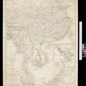
A Map of South Eastern Asia from Peking to Singapore... with an enlarged plan of the environs of Hanoi, on the Red River

event1883

location_onBrunei, Cambodia, Indonesia, Laos, Malaysia, Myanmar, Singapore, Thailand, Vietnam

Map of East Asia, with British colonial possessions—Burma, Straits Settlements, Labuan and British North Borneo—highlighted with red borders. There is also an inset map of the Red River (Hong River) running through Hanoi, Vietnam.

Sketch map showing forest reserves (sanctioned and proposed) in the Pegu and Tenasserim Divisions of British Burma

event1881

location_onMyanmar

Map of forest reserves—sanctioned and proposed—on the west coast of British Burma (Myanmar). The map also shows rivers, including the Irrawaddy River, and the railway from Rangoon (Yangon) to Prome (Pyay).

Asiatic archipelago

event1876

location_onVietnam, Myanmar, Papua New Guinea, Philippines, Singapore, Southeast Asia, Thailand, Malaysia, Laos, Indonesia, East Timor, Cambodia, Brunei

This late 19th century map of Southeast Asia shows the best maritime routes around the region, according to the time of year. There are also inset maps highlighting the rivers and southern islands of Singapore, and the sea depth around Labuan Island.

Eastern British frontier bordering on Burmah and Munneepoor

event1871

location_onMyanmar

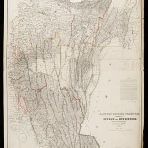
This map shows the border between the British Empire (modern Bangladesh) and Burmah (Myanmar). Although the Burmah part of the map is mostly blank, there is a reference to ‘Shendoos’ (now known as the Lai people).

Military cantonments: town and suburbs of Akyab, 1853-54

event1866

location_onMyanmar

Plan of British military installations in the port town of Akyab, Burma (Sittwe, Myanmar), featuring piers on the Kolladyne River (Kaladan River), hospitals, a work house, mission house, hotel, bazaar, burial grounds, religious buildings etc.

New map of Burma and the regions adjacent

event1857

location_onMyanmar, Thailand

Map of Burma spread over two sheets, labelled with the names of indigenous ‘tribes’ (uppercase red text), mountains, rivers, forests and plantations (teak, bamboo, sappanwood).

close