Search

Search Results

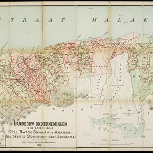
Landbouw-ondernemingen in de afdeelingen Deli, Batoe Bahara en Asahan (Residentie Oostkust van Sumatra)

event1898

location_onIndonesia

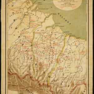
On this map of the east coast of northern Sumatra, red borders divide the land into agricultural properties, each with a number to identify it. The whole area is divided into colour-coded administrative districts.

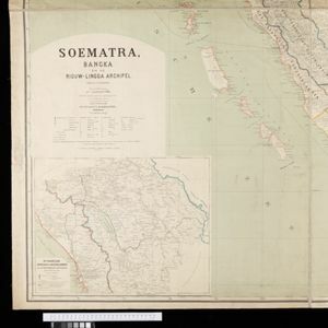
Soematra, Bangka en de Riouw-Lingga Archipel

event1897

location_onMalaysia, Indonesia, Singapore, Myanmar

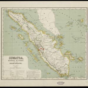
Map of Sumatra and surrounding islands, with residencies—administrative districts—shown by coloured borders. There are inset maps of two residencies surrounding Padang, and of Groot-Atjeh (Aceh). Rivers, railways, roads and settlements are marked.

Sumatra, Bangka, Blitoeng en de Riouw-archipel

event1890

location_onIndonesia

This map of Sumatra is divided into administrative areas called ‘residencies’, which include the surrounding islands such as the Riau Archipelago and islands in the South China Sea.

Het stroomgebied van Bila en Pane: Opgenomen en in kaart gebracht... gedurende de jaren 1876, 1877, 1878, 1882, 1883, 1884

event1885

location_onIndonesia

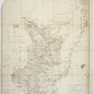
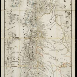
A map of the watershed of the Bila and Pane rivers in northern Sumatra. In addition to many rivers/tributaries, mountains, roads, paths and administrative borders are marked. Side views of mountains (elevations) are shown to use a landmarks.

Kaart van een gedeelte der Oostkust van Sumatra (Langkat, Deli en Serdang) waar tabaks-plantingen zijn

event1884

location_onIndonesia

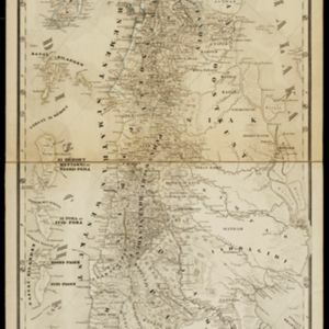
Map of tobacco plantations in three regencies on the east coast of Sumatra. Each plantation is marked in red with the name of the brand under which its tobacco is imported into the Netherlands. Roads, railways and rivers are also shown.

Sumatra

event1879

location_onIndonesia

The use of hachures—short lines/dashes that give a sense of the shape and steepness of terrain—highlight the mountain ranges along the west coast of Sumatra, with rivers flowing east. There is an inset map of the residency of Groot-Atjih (Aceh).

Sumatra

event1868

location_onIndonesia

The use of hachures—short lines/dashes that give a sense of the shape and steepness of terrain—highlight the mountain ranges along the west coast of Sumatra, with rivers flowing east. The island is divided into administrative ‘residencies’.

Nederlandsch Oost-Indie

event1867

location_onBrunei, East Timor, Indonesia, Malaysia, Philippines, Singapore, Thailand

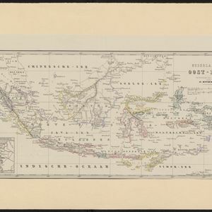
Map of the Dutch East Indies, divided into administrative regions with coloured borders. There is an inset map of the important port city of Batavia (Jakarta) and its surroundings.

Sumatra

event1860

location_onIndonesia

The use of hachures—short lines/dashes that give a sense of the shape and steepness of terrain—highlight the mountain ranges along the west coast of Sumatra, with rivers flowing east. The island is divided into administrative ‘residencies’.

Nouvelle Carte de l'isle de Java

eventc.1772-1780

location_onIndonesia

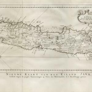
On this map of Java, mountains are shown pictorially and labelled with their name. The coasts are marked with shoals, reefs, bathymetry (sea depth, in figures) and anchor points. The land is divided into administrative districts.

Partie de la nouvelle grande carte des Indes Orientales, contenant les isles Maldives, Ceylan, Malacca, Sumatra... les isles de Borneo, Iava, Celebes, Mindanao

eventc.1750

location_onBrunei, East Timor, Indonesia, Malaysia, Papua New Guinea, Philippines, Singapore

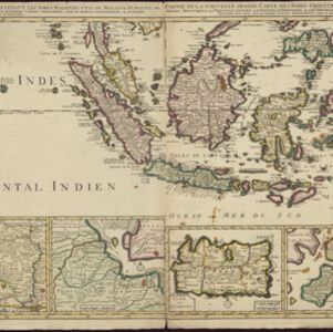
Map of maritime Southeast Asia, with four inset maps of locations in the region: Surabaya, some of the Lesser Sumba Islands, and Buton and Muna islands of the coast of Sulawesi. Mountains, forests, settlements and fields are represented pictorially.

close