
Search


Refine your results
- Filter from 1590 to 1641
Current results range from 1590 to 1641
- check_box[remove]German3
- check_box[remove]Latin3
Location
- check_box_outline_blankMaluku Islands2
- check_box_outline_blankArchipelago de San Lazaro1
- check_box_outline_blankArchipelago of St Lazarus1
- check_box_outline_blankBacan1
- check_box_outline_blankBachian1
- check_box_outline_blankBactjan1
- check_box_outline_blankGilolo Insula1
- check_box_outline_blankHalmahera1
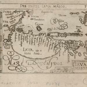
- check_box_outline_blankIava Maior1
- check_box_outline_blankIava Menor1
- check_box_outline_blankInselen Moluccae1
- check_box_outline_blankInsularum Moluccarum1
- more Detailed Location »


