Search

Search Results

Asiatic archipelago

event1858

location_onVietnam, Myanmar, Papua New Guinea, Philippines, Singapore, Southeast Asia, Thailand, Malaysia, Laos, Indonesia, East Timor, Cambodia, Brunei

This late 19th century map of Southeast Asia shows the best maritime routes around the region, according to the time of year. There are also inset maps highlighting the rivers and southern islands of Singapore, and the sea depth around Labuan Island.

Malay Archipelago, or East India Islands

event1851

location_onBrunei, Cambodia, East Timor, Indonesia, Laos, Malaysia, Myanmar, Papua New Guinea, Philippines, Singapore, Southeast Asia, Thailand, Vietnam

This mid-19th century map of Southeast Asia is illustrated with drawings of indigenous people from New Guinea, a ‘bee bear’ (probably a sun bear), a sailboat in front of Victoria Mount in New Guinea, and a village and palm trees in Sarawak, Borneo.

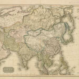
Asia

event1850

location_onBrunei, Cambodia, East Timor, Indonesia, Laos, Malaysia, Myanmar, Papua New Guinea, Philippines, Singapore, Southeast Asia, Vietnam, Thailand

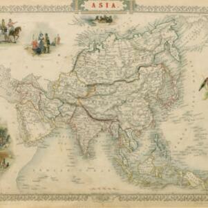
This map is decorated with colourful illustrations of people and animals. Of particular interest to Southeast Asia are the paintings of 'Sun-birds of India and the Philippine Isles'.

Asiatic archipelago

event1840

location_onVietnam, Myanmar, Papua New Guinea, Philippines, Singapore, Southeast Asia, Thailand, Malaysia, Laos, Indonesia, East Timor, Brunei, Cambodia

This late 19th century map of Southeast Asia shows the best maritime routes around the region, according to the time of year. There is also an inset map highlighting the rivers and southern islands of Singapore.

Asiatic archipelago

event1832

location_onVietnam, Myanmar, Papua New Guinea, Philippines, Singapore, Southeast Asia, Thailand, Malaysia, Laos, Indonesia, East Timor, Cambodia, Brunei

This late 19th century map of Southeast Asia shows the best maritime routes around the region, according to the time of year. There is also an inset map highlighting the rivers and southern islands of Singapore.

Map of the island of Sumatra constructed chiefly from surveys taken by order of the late Sir Thos. Stamford Raffles

event1829

location_onIndonesia, Malaysia, Singapore

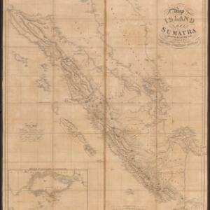
On this map of Sumatra, the west coast mountain ranges contrast with the rivers to the east. An inset map of Singapore focuses on jungles along the coasts, and features bathymetry (sea depth) around the south coast and along the Singapore Strait.

India (south part)

event1824

location_onMyanmar, Malaysia, Singapore, Thailand, Indonesia

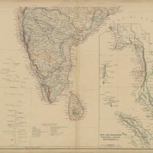
The inset map on this map of India features part of mainland Southeast Asia: Pegu and the Tenasserim Provinces (Myanmar), Siam (Thailand), and the Malay Peninsula (Malaysia), with the Straits Settlements—Singapore, Malacca, Penang—highlighted in red.

India (southern sheet)

event1824

location_onMyanmar, Malaysia, Indonesia, Singapore, Thailand

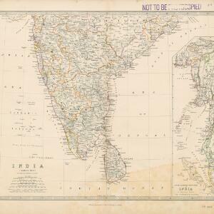
The inset map on this map of India features part of mainland Southeast Asia, with the British colonial territories—Straits Settlements, British Burma—highlighted in red, ‘protected states’ in yellow, and ‘independent states’ in green.

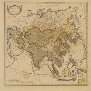
Asia

event1814

location_onBrunei, Cambodia, Indonesia, Laos, Malaysia, Myanmar, Philippines, Singapore, Southeast Asia, Thailand, Vietnam

An early 19th century map, with the regions of Southeast Asia marked with coloured borders: Malaya is red, indicating it is part of the British Empire; the orange borders around Sumatra, Borneo and Celebes show they are part of the Dutch East Indies.

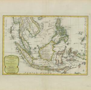
The East India Islands: comprehending the Isles of Sunda, the Moluccas and the Philippine Islands

event1789

location_onBrunei, Cambodia, East Timor, Indonesia, Laos, Malaysia, Myanmar, Philippines, Singapore, Southeast Asia, Thailand, Vietnam

Labels on this late 18th century map of Southeast Asia describe two indigenous populations—the ‘Kemoy’ of the mountains along the border of Cochin China (Vietnam) and Camboja (Cambodia), and the ‘Biayos’ of central Borneo—as ‘a wild Nation’.

Present Asia

event1783

location_onVietnam, Myanmar, Philippines, Singapore, Southeast Asia, Thailand, Malaysia, Laos, Indonesia, East Timor, Cambodia, Brunei

Coloured borders divide this late 18th century map of Asia into empires, kingdoms and regions. Five major rivers that flow south through mainland Southeast Asia are named: Aua, Pegu, Tenasserim, Menan and Camboya.

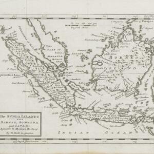
The Sunda Islands vitz Borneo, Sumatra and Java &c. agreable to Modern History

event1770

location_onMalaysia, Indonesia, Singapore

This map of the Sunda Islands features three different locations for the city of Palembang. ‘Palambam’ is in the correct location on Sumatra, while ‘Palimbam’ is in west Java, and ‘Palambang’ is in east Java, a confusion often seen at this time.

close

  • Filter from 1671 to 1858

Current results range from 1671 to 1858