Search

Search Results

Schetskaart der afdeeling Westkust van Atjeh

event1888

location_onIndonesia

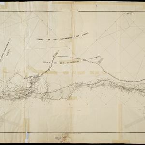
From a Dutch geographical society journal, this map of the west coast of Atjeh (Aceh), Sumatra, shows shoals, reefs, bathymetry (sea depth) and anchor points. On land, there are mountains (with heights), rivers, pepper plantations and rice fields.

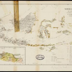
Handelskaartje van den Nederlandsch Indischen archipel

event1883

location_onIndonesia, East Timor

This map is concerned with trade in the Dutch East Indies, highlighting useful resources such as maritime routes, railways, telegraph lines and offices, coast and harbour lights, offices of officials, areas that apply tolls and duties etc.

Midden-Sumatra: Reizen en onderzoekingen der Sumatra-expeditie... 1877-1879

event1882

location_onIndonesia

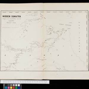
An Atlas produced by an expedition in central Sumatra, including: maps of topography, geology, a number of rivers in the region; drawings of mountains, graphs of lengths of roads; family trees of the royal families of Djambi (Jambi) and Palembang.

Figuratieve kaart van Deli, Langkat en Serdang met aanteekening der uitgegeven kontrakten

event1876

location_onIndonesia

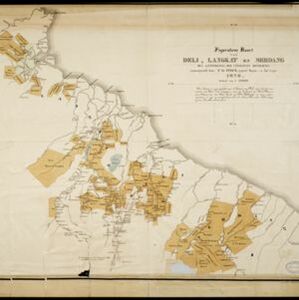
Map of three regions on the northeast coast of Sumatra, with each region divided into parcels of land which are labelled with the name of a company. Presumably, these companies have been issued the contracts mentioned in the map’s title.

Nederlandsch Oost-Indië / Java

eventc.1850

location_onBrunei, East Timor, Indonesia, Malaysia, Philippines, Singapore, Thailand

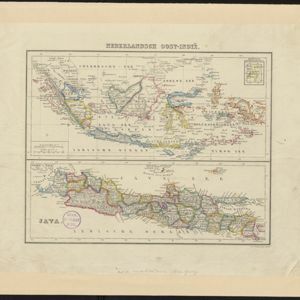
Two maps of the Dutch East Indies: one of the whole region, and one of Java alone. Both are divided into administrative regions—e.g. Java is divided into regencies—with coloured borders.

Het Eiland Java: zoo als het sederd de tyden der Portugysen by de Ed. Oost-Indize maatschappye bekend geworden en bevaren is

event1714

location_onIndonesia

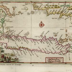
Published in the early 18th century by the Dutch publisher Pieter van der Aa (1659–1733), this map of Java and the Java Sea is decorated with a colourful painted scene of merchants and boats at a trading port.

L'Inde de la Le Gange

event1713

location_onBrunei, Cambodia, Indonesia, Laos, Malaysia, Myanmar, Thailand, Vietnam

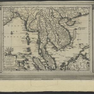
This map of mainland Southeast Asia features a label describing the local population of the mountains of Cochinchine (Vietnam) as ‘les Kemoi Sauvages [the Kemoi savages]’. The cartouche features a drawing of Asia with people, fields and palm trees.

'T koninkryk Sunda met dat van Iava by d'Inwoonderen voor een Eiland

event1707

location_onIndonesia

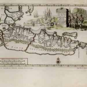
Java is shown as two separate islands on this map, with the western island named Sunda. The southern coast is labelled as ‘unknown’. A colourful cartouche is decorated with a painting of indigenous Javanese people meeting and trading with Europeans.

D' Indiaanze landschappen, zeen en eylanden, van Couchin af, tot in de Moluccos, en na by gelegen eylanden

event1707

location_onBrunei, Cambodia, East Timor, Indonesia, Laos, Malaysia, Myanmar, Philippines, Vietnam, Thailand, Southeast Asia, Singapore

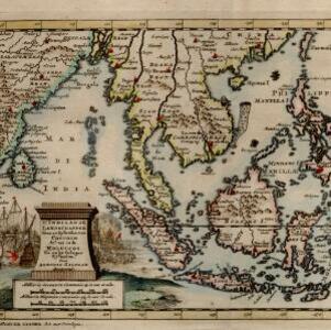
The title cartouche of this early 18th century map of Southeast Asia is decorated with two drawings of battles. On the left, a sea battle with smoke rising from the ships’ cannons. On the right, an army attacks a walled city which is on fire.

close