Search

Search Results

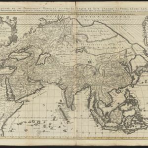
L'Asie divisée en ses principales regions, et ou se peut voir l'estendue des Empires, Monarchies, Royaumes, et Estats qui partagent présentement l'Asie

event1692

location_onBrunei, Cambodia, East Timor, Indonesia, Laos, Malaysia, Myanmar, Philippines, Singapore, Southeast Asia, Thailand, Vietnam

This map shows the empires, kingdoms and states of Southeast Asia. Its decorative cartouche features drawings of two women—one with a cornucopia and one with a censer (incense burner)—elephant heads, and a French coat of arms. Nine scales are shown.
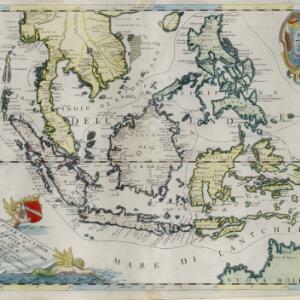
Isole dell'Indie divise in Filippine, Molucche e della Sonda

eventc.1691-1696

location_onBrunei, Cambodia, East Timor, Indonesia, Laos, Malaysia, Myanmar, Philippines, Singapore, Southeast Asia, Thailand, Vietnam

Dotted lines and colours divide maritime Southeast Asia into three regions on this map: the Philippine archipelago, Maluku Islands and Sunda Islands. The cartouche features cherub mermaids carrying a banner and shield.

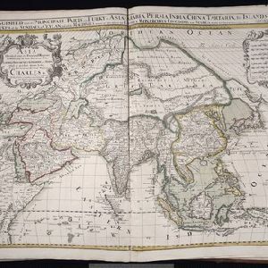
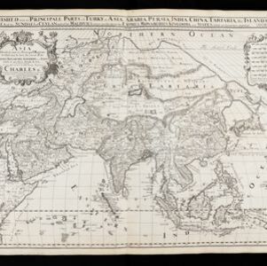
Asia divided into its principall regions in which may be seen the extent of the Empires, Monarchies, Kingdoms and States which at present divide Asia

event1680

location_onBrunei, Cambodia, East Timor, Indonesia, Laos, Malaysia, Myanmar, Papua New Guinea, Philippines, Singapore, Southeast Asia, Thailand, Vietnam

This late 17th century map of Asia is by William Berry, based on an earlier map by the French cartographer Nicolas Sanson. Dedicated to King Charles II, it features the royal coat of arms of the United Kingdom in its elaborate cartouche.

Isole dell'Indie divise in Filippine, Molucche e della Sonda

event1680

location_onBrunei, Cambodia, East Timor, Indonesia, Malaysia, Laos, Myanmar, Philippines, Singapore, Southeast Asia, Thailand, Vietnam

Dotted lines and colours divide maritime Southeast Asia into three regions on this map: the Philippine archipelago, Maluku Islands and Sunda Islands. The cartouche features cherub mermaids, and a map of mainland Southeast Asia is on the reverse.

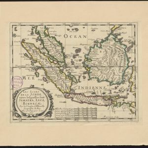
Les Isles de la Sonde: entre lesquelles sont Sumatra, Java, Borneo &c.

eventc.1652

location_onBrunei, Indonesia, Malaysia, Singapore

This mid-17th century map of the Sunda Isles (‘Isles de la Sonde’) includes the Malay Peninsula in addition to Sumatra, Java and Borneo. Mountain ranges and jungles are shown pictorially, and the islands and coasts feature shoals and reefs.

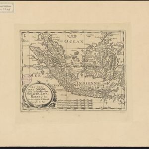
Les Isles de la Sonde: entre lesquelles sont Sumatra, Java, Borneo &c.

event1652

location_onBrunei, Indonesia, Malaysia, Singapore

This mid-17th century map of the Sunda Isles (‘Isles de la Sonde’) includes the Malay Peninsula in addition to Sumatra, Java and Borneo. Mountain ranges and jungles are shown pictorially, and the islands and coasts feature shoals and reefs.

close