Search

Search Results

Malay Archipelago, or East India Islands

event1851

location_onBrunei, Cambodia, East Timor, Indonesia, Laos, Malaysia, Myanmar, Papua New Guinea, Philippines, Singapore, Southeast Asia, Thailand, Vietnam

This mid-19th century map of Southeast Asia is illustrated with drawings of indigenous people from New Guinea, a ‘bee bear’ (probably a sun bear), a sailboat in front of Victoria Mount in New Guinea, and a village and palm trees in Sarawak, Borneo.

Asia

event1850

location_onBrunei, Cambodia, East Timor, Indonesia, Laos, Malaysia, Myanmar, Papua New Guinea, Philippines, Singapore, Southeast Asia, Vietnam, Thailand

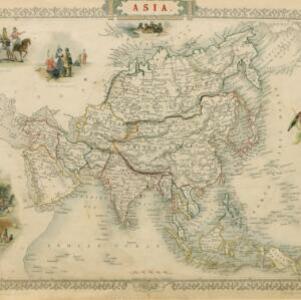
This map is decorated with colourful illustrations of people and animals. Of particular interest to Southeast Asia are the paintings of 'Sun-birds of India and the Philippine Isles'.

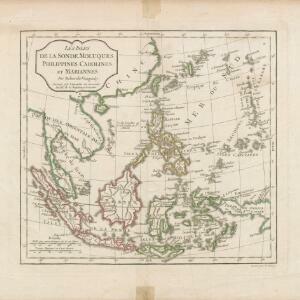
Les Isles de la Sonde, Moluques, Philippines, Carolines, et Mariannes

event1795

location_onBrunei, Cambodia, East Timor, Indonesia, Laos, Malaysia, Myanmar, Philippines, Singapore, Southeast Asia, Thailand, Vietnam

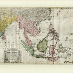
This map of the Sunda Isles (‘Isles de la Sonde’) (with red borders) and Maluku Islands (‘Isles Moluques’) (green borders) also includes mainland Southeast Asia (blue borders), the Philippines (yellow borders) and New Guinea (green borders).

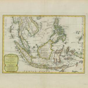
The East India Islands: comprehending the Isles of Sunda, the Moluccas and the Philippine Islands

event1789

location_onBrunei, Cambodia, East Timor, Indonesia, Laos, Malaysia, Myanmar, Philippines, Singapore, Southeast Asia, Thailand, Vietnam

Labels on this late 18th century map of Southeast Asia describe two indigenous populations—the ‘Kemoy’ of the mountains along the border of Cochin China (Vietnam) and Camboja (Cambodia), and the ‘Biayos’ of central Borneo—as ‘a wild Nation’.

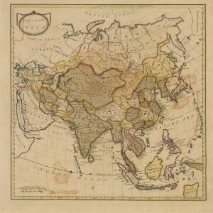
Present Asia

event1783

location_onVietnam, Myanmar, Philippines, Singapore, Southeast Asia, Thailand, Malaysia, Laos, Indonesia, East Timor, Cambodia, Brunei

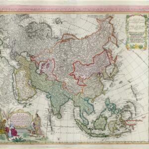
Coloured borders divide this late 18th century map of Asia into empires, kingdoms and regions. Five major rivers that flow south through mainland Southeast Asia are named: Aua, Pegu, Tenasserim, Menan and Camboya.

Les Isles de la Sonde, Moluques, Philippines, Carolines, et Mariannes

event1778

location_onBrunei, Cambodia, East Timor, Indonesia, Laos, Malaysia, Myanmar, Philippines, Singapore, Southeast Asia, Thailand, Vietnam

This map of the Sunda Isles (‘Isles de la Sonde’) (with red borders) and Maluku Islands (‘Isles Moluques’) (blue borders) also includes mainland Southeast Asia (green borders), the Philippines (yellow borders) and New Guinea (green borders).

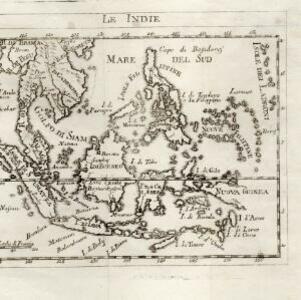
Le Indie

event1778

location_onBrunei, Cambodia, East Timor, Indonesia, Laos, Malaysia, Myanmar, Philippines, Singapore, Southeast Asia, Thailand, Vietnam

This late 18th century map of Southeast Asia is by the Dutch cartographer Henri Abraham Chatelain (1648–1743). As often found on maps of this time, larger settlements are represented by drawings of small groups of buildings.

Carte des Indes Orientales

event1748

location_onBrunei, Cambodia, East Timor, Indonesia, Laos, Malaysia, Myanmar, Philippines, Singapore, Southeast Asia, Thailand, Vietnam

This mid-18th century map features a label noting that the Byayos people inhabited the mountains of central Borneo. Another note at the northeast tip of Borneo states that the location and number of islands in the area is uncertain.

Asia secundum legitimas projectionis stereographicae regulas et juxta recentissimas observation et relationes = Carte de l'Asie, projettée stereographiquement, tirée des relations et observations

event1744

location_onBrunei, Cambodia, East Timor, Indonesia, Laos, Malaysia, Myanmar, Philippines, Singapore, Southeast Asia, Thailand, Vietnam

This mid-18th century map of Asia has a stereographic projection to aid in navigation. There is also an illustration featuring two Asian men depicted as warriors, with a robed woman, as well as a large lizard.

The principal islands of the East-Indies: explaining what belongs to England, Spain and Holland &c.

event1732

location_onBrunei, Cambodia, East Timor, Indonesia, Philippines, Malaysia, Thailand, Vietnam, Singapore, Southeast Asia

The letters ‘E’ or ‘D’ are marked after place names to indicate if they are English or Dutch colonial possessions: e.g. ‘Marleborough Fort E’ on Sumatra or ‘Concordia Fort D’ on Timor. The Philippines are labelled ‘to Spain’.

L'Asie dressée sur les observations de Mrs. de l'Academie Royale de Sciences

event1730

location_onBrunei, Cambodia, East Timor, Indonesia, Laos, Malaysia, Myanmar, Philippines, Singapore, Southeast Asia, Thailand, Vietnam

This map features maritime routes: between Siam and Batavia; and five routes of the explorers Juan Gaetan and Olivier du Nord (dated 1542) east of the Philippines. The cartouche has a colourful illustration of Asian people in traditional costume.

Carte des Indes, de la Chine & des Iles de Sumatra, Java &c.

event1719

location_onBrunei, Cambodia, East Timor, Indonesia, Laos, Malaysia, Myanmar, Philippines, Singapore, Southeast Asia, Thailand, Vietnam

Text on this map notes that Sumatra is divided into two equal parts by the Equator, so that the days and nights are always the same length. It also notes that Java is ruled by the Dutch, though the Mataram Sultanate in central Java is also mentioned.

close

  • Filter from 1632 to 1851

Current results range from 1632 to 1851