Search Results
Filter
Map Attributes
Scale
Remove constraint Map Attributes: Scale
Simple Location
Thailand
Remove constraint Simple Location: Thailand
Sea Features
Shoal
Remove constraint Sea Features: Shoal
Collections
Beinecke Rare Book and Manuscript Library Yale University
Remove constraint Collections: Beinecke Rare Book and Manuscript Library Yale University
29 Results found
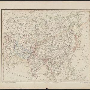
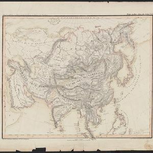
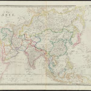
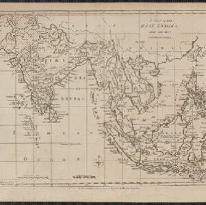
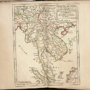
Seconde partie de la carte d'Asie: contenant la Chine et partie de la Tartarie, l'Inde au delà du Gange, les isles Sumatra, Java, Borneo, Moluques, Philippines et du Japon
1752
Brunei, Cambodia, East Timor, Indonesia, Laos, Malaysia, Myanmar, Vietnam, Thailand, Southeast Asia, Singapore, Philippines
- [remove]Beinecke Rare Book and Manuscript Library Yale University29
- Filter from 1595 to 1900
- Malaysia29
- [remove]Thailand29
- Indonesia28
- Singapore28
- Brunei27
- Cambodia27
- Vietnam27
- Laos25
- Myanmar24
- Philippines24
- Southeast Asia24
- East Timor21
- more Simple Location »
- Borneo26
- Sumatra26
- Sulawesi20
- Celebes18
- Java17
- Siam16
- Malay Peninsula15
- Western New Guinea14
- Malacca12
- Maluku Islands12
- South China Sea12
- Sunda Islands12
- more Detailed Location »
- [remove]Shoal29
- Reef27
- Longitude and Latitude29
- [remove]Scale29
- Compass Rose15
- Written Note/Details11
- Rhumbline Network9
- Contour Lines/Elevation4
- Linschoten, Jan Huygen van6
- Robert de Vaugondy, Gilles3
- Wyld, James3
- Beckit, Robert2
- Senex, John2
- Anville, Jean-Baptiste Bourguignon d'1
- Après de Mannevillette, Jean-Baptiste d'1
- Boehm, Augustus Gottlob1
- more Map Maker »
- Institut von Albrecht Platt2
- Verlag der Rubach'schen Buchhandlung2
- Bowles & Carver1
- Homann Heirs1
- J. Bew1
- James Whittle1
- Jean-Baptiste Bourguignon d'Anville1
- John Wolfe1
- more Printer/Publisher »